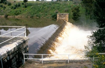
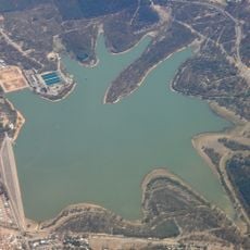
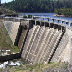
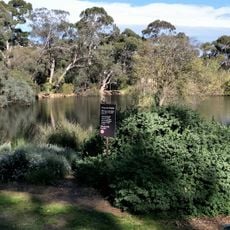
Clarendon Weir, Heritage-listed dam in Adelaide Hills, South Australia
Clarendon Weir is a dam on the Onkaparinga River in the Adelaide Hills, built with large blocks of marble that form its distinctive structure. The water from the dam flows through an underground tunnel system to reach the nearby reservoir.
The dam was built between 1894 and 1896 to address water and sewer issues in Adelaide as the city grew. The structure was heightened in the mid-1960s to increase its water-holding capacity and better serve the expanding population.
The structure displays the craftsmanship of the late 1800s, with carefully fitted marble blocks still visible in the stonework. It stands as a testament to how engineering shaped the region's development and remains an important landmark for understanding the area's past.
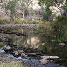
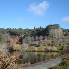
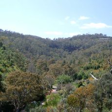
The dam is located south of Adelaide and can be reached by car through the surrounding hills. Visitors should allow time to walk around the structure and nearby grounds, which can be accessed from local roads.
The original construction employed ponies and carts to transport heavy materials for the wooden water tunnel, an unusual method for such a major project. This gravity-fed system, built using animal power and manual labor, continues to deliver water more than a century later.
The community of curious travelers
AroundUs brings together thousands of curated places, local tips, and hidden gems, enriched daily by 60,000 contributors worldwide.