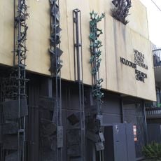
Moorabbin, Administrative division in City of Kingston, Australia
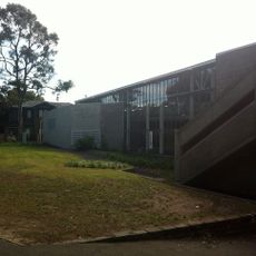
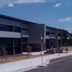
Moorabbin is a suburb southeast of Melbourne with mixed residential, commercial, and industrial zones spread across the area. The locality includes green spaces and diverse urban functions distributed throughout.
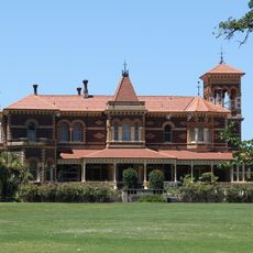
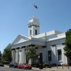
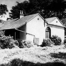
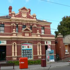
The area was established as a road district in 1862 and gained city status in 1934. This transition reflected its shift from rural land to an organized administrative center.
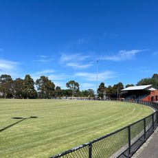
The area functions as a community hub where residents gather at local sports clubs and recreation grounds that shape everyday social connections throughout the year.
The suburb connects to central Melbourne through regular train services at Moorabbin Station and multiple bus routes serving the area. Public transport makes it easy to move around and reach different parts of the locality.
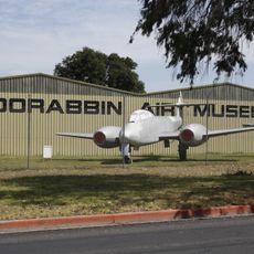
A local airport serves as a major aviation training center, with hundreds of thousands of aircraft movements each year. This facility makes it a key hub for flight training in the region.
Location: Victoria
Location: City of Kingston
Elevation above the sea: 32 m
Shares border with: Cheltenham, Heatherton, Highett, Bentleigh East, Bentleigh, Brighton East, Oakleigh South, Hampton East
GPS coordinates: -37.94100,145.05800
Latest update: December 7, 2025 19:23
Harold Holt Memorial Swimming Centre
9.2 km
Royal Melbourne Golf Club
4.3 km
Rippon Lea Estate
8.6 km
John Monash Science School
6.9 km
Australian National Aviation Museum
4.9 km
Jewish Holocaust Museum and Research Centre
8.1 km
St Andrew's Church, Brighton
6.6 km
Mentone Beach
5.4 km
St James the Great, St Kilda East
9.5 km
Hedgeley Dene Gardens
8 km
Glen Eira Town Hall
7.4 km
Malvern Presbyterian Church, Melbourne
9 km
Monash University Museum of Art
7.2 km
Moorabbin Air Museum
5 km
Elsternwick Metropolitan Fire Brigade Station
8.1 km
Sacred Heart Girls' School
5.1 km
Sandringham Beach
5.2 km
Melbourne Holocaust Museum
8.1 km
Zone Bowling
1.9 km
Elsternwick Union Church
7.8 km
Elwood Beach
8.2 km
Labassa
9 km
Koornang Park
5.1 km
Brighton Municipal Offices
6.3 km
Black Rock House
5.4 km
Seccull House
7.6 km
Religious Centre
7.4 km
Former Elsternwick Post Office
8 kmVisited this place? Tap the stars to rate it and share your experience / photos with the community! Try now! You can cancel it anytime.
Discover hidden gems everywhere you go!
From secret cafés to breathtaking viewpoints, skip the crowded tourist spots and find places that match your style. Our app makes it easy with voice search, smart filtering, route optimization, and insider tips from travelers worldwide. Download now for the complete mobile experience.
A unique approach to discovering new places❞
— Le Figaro
All the places worth exploring❞
— France Info
A tailor-made excursion in just a few clicks❞
— 20 Minutes