
Southwest National Park
Southwest National Park, National park in Tasmania, Australia
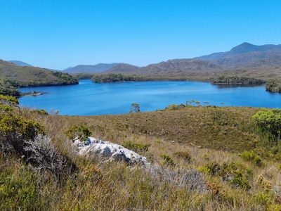
Southwest National Park encompasses 6,183 square kilometers of jagged mountain ranges, buttongrass moorlands, ancient rainforests, and deep harbors in Tasmania's remote wilderness area.
The park originated as Lake Pedder National Park in 1955, expanding into Southwest National Park in 1968, becoming part of the Tasmanian Wilderness World Heritage Area.
Archaeological evidence indicates Aboriginal Tasmanians maintained presence in this region for over 35,000 years, leaving middens, artifacts, and rock shelters throughout the area.
Access requires a valid parks pass, with two entry points: Gordon River Road in the north leading to Lake Pedder, and Cockle Creek providing entry from the south.
The park serves as the breeding ground for orange-bellied parrots between November and March, making it essential for the survival of this rare species.
Location: Tasmania
Inception: 1955
Elevation above the sea: 304 m
Operator: Tasmania Parks & Wildlife Service
Part of: Tasmanian Wilderness
Address: Tasmania, Australia
Phone: +61361217026
Website: https://parks.tas.gov.au/explore-our-parks/southwest-national-park
GPS coordinates: -42.83360,146.14900
Latest update: May 14, 2025 12:33
Tasmania offers national parks, geological formations, and historical sites. This Australian island features natural gorges, white sandy beaches, mountains, lakes, and forests. Visitors can discover 19th-century penitentiaries, botanical gardens, museums, and wildlife reserves. Endemic wildlife, including Tasmanian devils, wombats, and pademelons, can be observed in several sanctuaries. National parks allow for hiking, skiing, and river exploration.

Gordon Dam
18.2 km
Centurion
57.3 km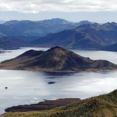
Lake Pedder
11.2 km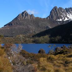
Tasmanian Wilderness
26 km
Lake Gordon
11.3 km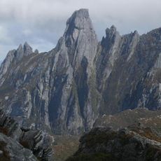
Federation Peak
55.5 km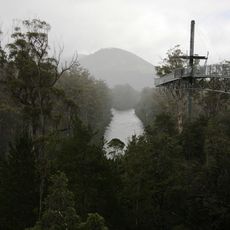
Tahune Airwalk
55.2 km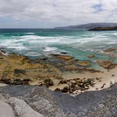
South Coast Track
65.2 km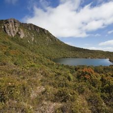
Hartz Mountains National Park
65.7 km
George III
101.1 km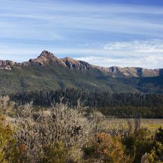
Mount Anne
25.5 km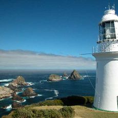
Maatsuyker Island Lighthouse
92.2 km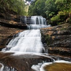
Lady Barron Falls
47.4 km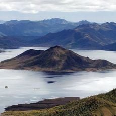
Scotts Peak
21.7 km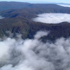
Mount Misery
71.7 km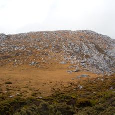
The Cupola
14.1 km
Salmon Ponds
67.6 km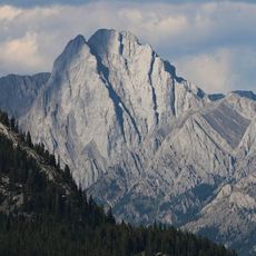
Brock Mount
68.2 km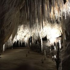
Exit Cave, Tasmania
83.3 km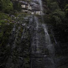
Adamsons Falls
81.8 km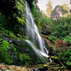
Chutes Marriott
43.9 km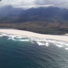
Prion Beach
84.4 km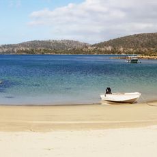
Sayers Beach
102.1 km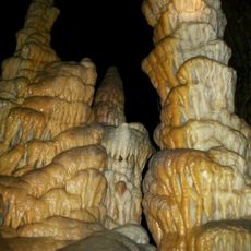
Hastings Caves
82.1 km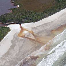
Cox Bight and Freney Lagoon
73.7 km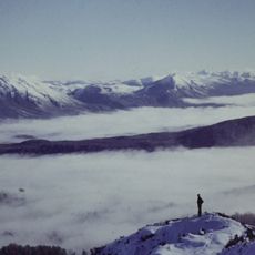
Denison Range, viewed from the Needles
27 km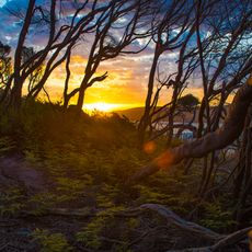
Granite Beach, Tasmania
95.4 km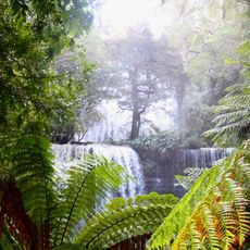
Russell Falls, Tasmania
36.5 kmReviews
Visited this place? Tap the stars to rate it and share your experience / photos with the community! Try now! You can cancel it anytime.
Discover hidden gems everywhere you go!
From secret cafés to breathtaking viewpoints, skip the crowded tourist spots and find places that match your style. Our app makes it easy with voice search, smart filtering, route optimization, and insider tips from travelers worldwide. Download now for the complete mobile experience.

A unique approach to discovering new places❞
— Le Figaro
All the places worth exploring❞
— France Info
A tailor-made excursion in just a few clicks❞
— 20 Minutes