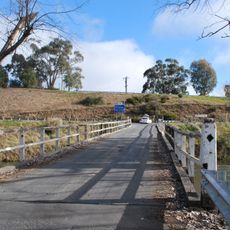
Australian Alps Walking Track, Long-distance trail in Victoria, New South Wales and the Australian Capital Territory, Australia
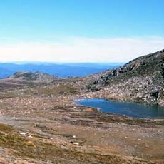
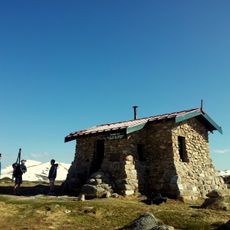
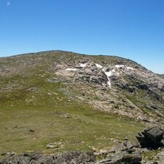
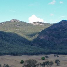
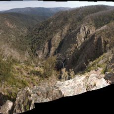
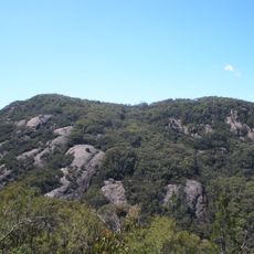
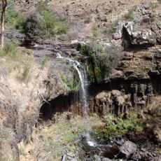
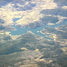
The Australian Alps Walking Track is a long-distance trail running through the mountain regions of New South Wales, Victoria, and the Australian Capital Territory. It links several existing paths into one continuous route that crosses alpine valleys, high plateaus, and mountain ridges.
The track was created by connecting a series of existing paths to give walkers a continuous route through Australia's alpine regions. Over the decades it became one of the country's most recognized long-distance walking routes.
The track's name comes from the Australian Alps, the mainland's highest ranges. Its yellow triangular markers read "AUSTRALIAN ALPS WALKING TRACK". A volunteer group called the AAWT Track Angels helps walkers with transport and food drops, a tradition of hiker support along the route.
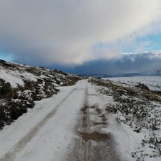
Autumn through spring offers the most manageable conditions, as snow can make higher sections impassable in winter. Mountain weather can shift rapidly, so carrying gear suited for rain, cold, and sun at the same time is a practical necessity.
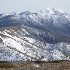
The track's official route passes close to Mount Kosciuszko, Mount Bogong and Bimberi Peak, the highest points of New South Wales, Victoria and the ACT respectively. Most of its length is not signposted, and hikers need developed navigation skills in wilderness areas.
The community of curious travelers
AroundUs brings together thousands of curated places, local tips, and hidden gems, enriched daily by 94,047 contributors worldwide.