
Salvation Army Barracks, 13 King Street and Service Lane, OPOTIKI
Location: Ōpōtiki District
Address: 13 King Street and Service Lane, Opotiki
GPS coordinates: -38.00616,177.28375
Latest update: April 5, 2025 08:14
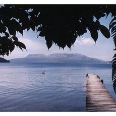
Mount Tarawera
71.9 km
Waimangu Geyser
83.3 km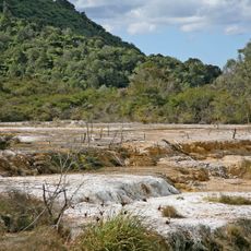
Waimangu Volcanic Rift Valley
83.3 km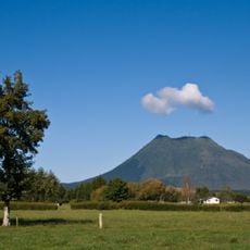
Putauaki
49 km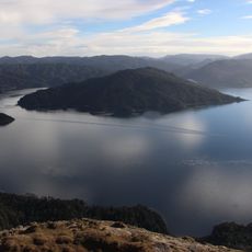
Te Urewera National Park
63.4 km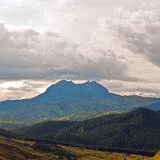
Mount Hikurangi
68.9 km
Lake Waikaremoana Great Walk
89.5 km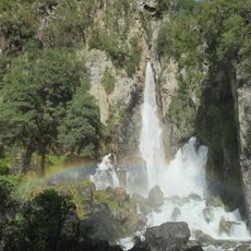
Tarawera Falls
69.1 km
Eastwoodhill Arboretum
72.7 km
Lake Rotokawau
79.8 km
Mōkau Falls
82.2 km
Āniwaniwa Falls
82.8 km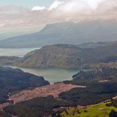
Okataina caldera
69.8 km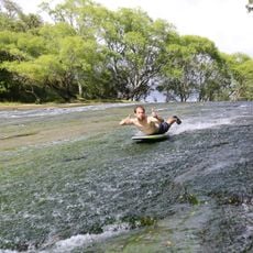
Rere Rock Slide Waterfall
65.1 km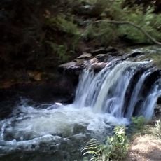
Kerosene Creek Waterfall
86.7 km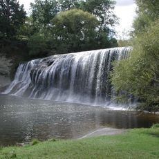
Rere Falls
65.6 km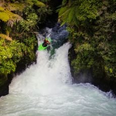
Tutea Falls
82.4 km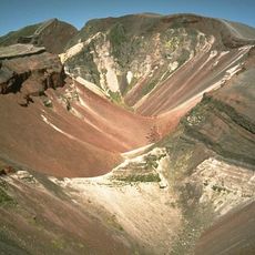
Okataina
69.9 km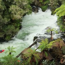
Okere Falls
82.3 km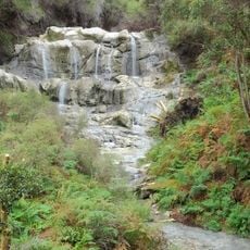
Kakahi Falls
81.3 km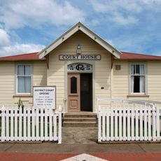
Court House
193 m
Pukehina Beach
73.3 km
Āniwaniwa Falls
53.7 km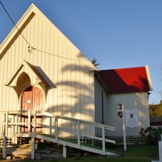
St Thomas's Church
77.7 km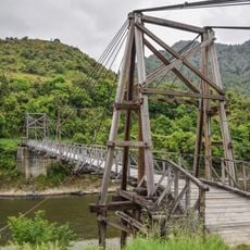
Tauranga Bridge
22 km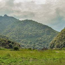
Waioweka Gorge Scenic Reserve
12.6 km
Tapuiwahine Flat
33.8 km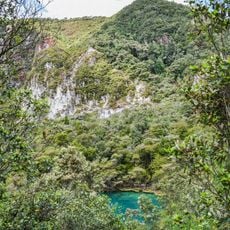
Rainbow Mountain Scenic Reserve
86 kmReviews
Visited this place? Tap the stars to rate it and share your experience / photos with the community! Try now! You can cancel it anytime.
Discover hidden gems everywhere you go!
From secret cafés to breathtaking viewpoints, skip the crowded tourist spots and find places that match your style. Our app makes it easy with voice search, smart filtering, route optimization, and insider tips from travelers worldwide. Download now for the complete mobile experience.

A unique approach to discovering new places❞
— Le Figaro
All the places worth exploring❞
— France Info
A tailor-made excursion in just a few clicks❞
— 20 Minutes