MacCabe Corner, Tripoint at Murray River border, Australia
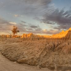
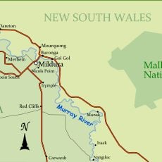
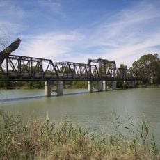
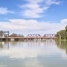
MacCabe Corner is a tripoint where the borders of New South Wales, Victoria, and South Australia meet along the Murray River. It sits at coordinates -34.020992, 141.002994 in the remote interior of southeastern Australia.
The location was named after Francis MacCabe, a surveyor who mapped the borders of these three states during colonial Australia. The survey work followed settlement expansion and established the administrative boundaries in this remote region.
This geographical point represents the territorial organization of Australia, reflecting the administrative divisions created during the settlement of inland regions.
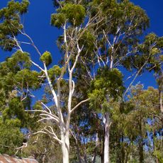
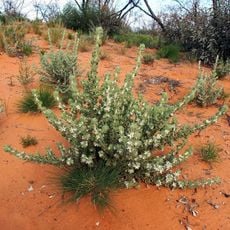
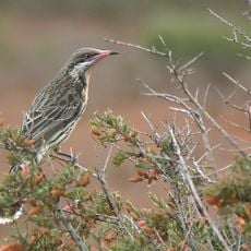
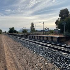
The site lies around 80 kilometers west of Wentworth and is reached via rural roads with limited facilities. Careful planning and navigation are needed, as the area is sparsely populated and remote.
At this location, the time zone changes depending on which state's daylight saving rules apply, creating confusion for visitors at different times of year. This peculiarity means the official time can vary depending on where exactly you stand.
The community of curious travelers
AroundUs brings together thousands of curated places, local tips, and hidden gems, enriched daily by 60,000 contributors worldwide.