Chest opened
+${chestReward.xp} XP
Explorer
NOUVEAU ×${chestReward.collectible.quantity}
tapez pour fermer
Chest locked

Open chests in the app

Around Us is built for your phone — chests unlock when you walk, explore and capture nearby places.

Enable Location

We need your location to show you interesting places around you

Discover nearby places

Find interesting locations and hidden gems around you

Precise directions

Get accurate directions and distances to places

Your location is never shared with other users. It's only used when you tap the location button.

White Cliffs

Log in to your account

Start exploring — it's free

Trusted by 72,881 travelers worldwide

Continue with Google
Continue with Apple
or

We will send you a code to connect

By continuing, you accept our Terms and Conditions and our Privacy Policy

Check your inbox

We've sent a pincode in your inbox. Please enter the code below.

White Cliffs
Discussion Reviews 1 Photos
12.2k Popularity

White Cliffs, Administrative division in Central Darling Shire Council, Australia.

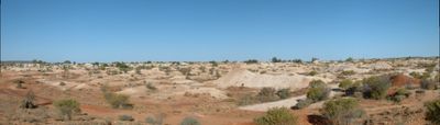
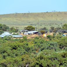
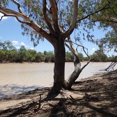
White Cliffs is an administrative division in New South Wales that spans semi-arid terrain dotted with scattered homesteads and mining access roads. The region connects several neighborhoods including Bundarra Homestead, Gemville, McCallum Park Station, and Potch Gully within a single administrative framework.

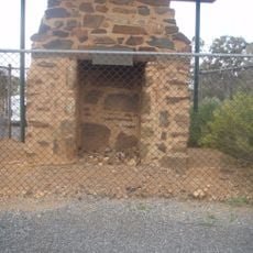
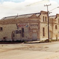
The region emerged as an administrative area following opal mining development in the late nineteenth century across Central Darling. Mining operations shaped settlement patterns and led to the creation of this administrative structure to serve the mining communities.

Local government initiatives in White Cliffs maintain records of regional heritage through digital applications and community documentation programs.

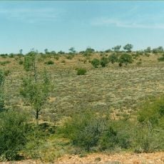
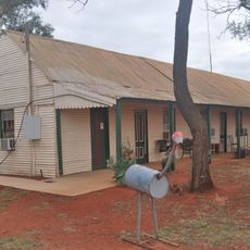
The area is accessible via local roads and mining access routes connecting the neighborhoods and enabling access to basic services. Visitors should prepare well for the sparsely populated landscape, ensuring they have supplies and fuel before traveling through.

The area pioneered decentralized solar power systems developed to supply the scattered communities in this remote region. This energy solution emerged from the need to keep isolated settlements independent of conventional power grids.

The community of curious travelers

AroundUs brings together thousands of curated places, local tips, and hidden gems, enriched daily by 60,000 contributors worldwide.

Start exploring
GPS coordinates
-30.85038,143.09002
Latest update
December 7, 2025 20:46
Reviews
Share your experience

No review yet

Discussions
Start a discussion...

No discussion yet

« White Cliffs - Administrative division in Central Darling Shire Council, Australia » is provided by Around Us (aroundus.com). Images and texts are derived from Wikimedia project under a Creative Commons license. You are allowed to copy, distribute, and modify copies of this page, under the conditions set by the license, as long as this note is clearly visible.

Discover hidden gems everywhere you go!

From secret cafés to breathtaking viewpoints, skip the crowded tourist spots and find places that match your style. Our app makes it easy with voice search, smart filtering, route optimization, and insider tips from travelers worldwide. Download now for the complete mobile experience.

Around Us App Screenshot

A unique approach to discovering new places

Le Figaro

All the places worth exploring

France Info

A tailor-made excursion in just a few clicks

20 Minutes

Around Us
Travel Guide & Maps
Download

Send to your phone

QR Code
1

Open the camera app on your mobile.

2

Point at the QR code with your camera. A notification will appear.

3

Tap the notification to open the link.