
Picton Weir
Location: New South Wales
Elevation above the sea: 356 m
GPS coordinates: -34.26528,150.55111
Latest update: April 16, 2025 23:46
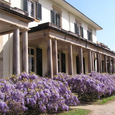
Camden Park Estate
25 km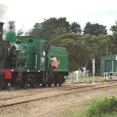
NSW Rail Museum
6.8 km
Cataract Dam
23.2 km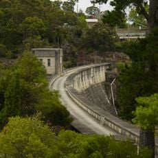
Upper Nepean Scheme
22.4 km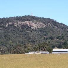
Mount Gibraltar
25 km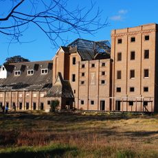
The Maltings
22.1 km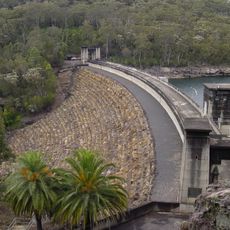
Avon Dam
12.7 km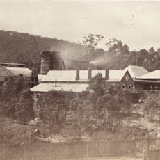
Fitzroy Iron Works
22.6 km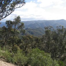
Nattai National Park
17.8 km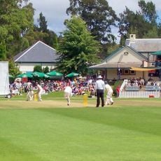
Bradman Oval
26.7 km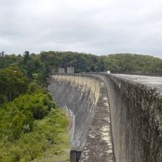
Cordeaux Dam
19.5 km
Thirlmere Lakes National Park
5.6 km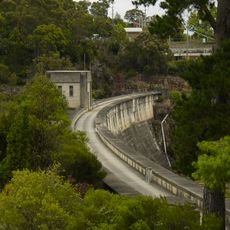
Nepean Dam
9.6 km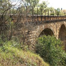
Stonequarry Creek railway viaduct, Picton
11.2 km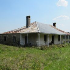
Beulah
25.3 km
Jarvisfield, Picton
13.3 km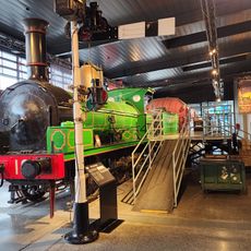
NSW Rail Museum
6.8 km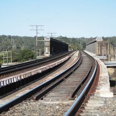
Menangle Railway Bridge
24.2 km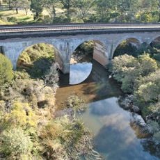
Bargo railway viaduct
4.1 km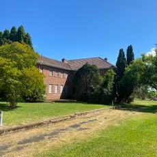
Challoner Cottage
22.4 km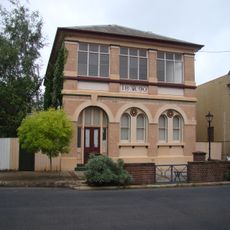
Old Mittagong Post Office
22.8 km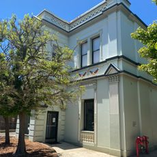
Bowral Town Hall
26.7 km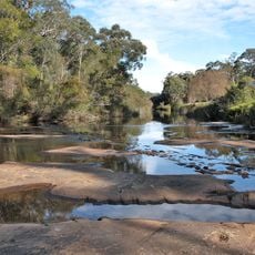
Wirrimbirra Field Study Centre and Sanctuary
15.5 km
Highlands Golf Club
21.2 km
Bowral Library
26.7 km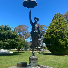
Birthplace of Mary Poppins
26.9 km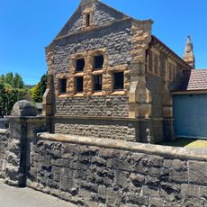
Old Bowral Courthouse
26.7 km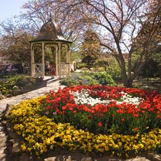
Corbett Gardens
26.6 kmReviews
Visited this place? Tap the stars to rate it and share your experience / photos with the community! Try now! You can cancel it anytime.
Discover hidden gems everywhere you go!
From secret cafés to breathtaking viewpoints, skip the crowded tourist spots and find places that match your style. Our app makes it easy with voice search, smart filtering, route optimization, and insider tips from travelers worldwide. Download now for the complete mobile experience.

A unique approach to discovering new places❞
— Le Figaro
All the places worth exploring❞
— France Info
A tailor-made excursion in just a few clicks❞
— 20 Minutes