Royal National Park

Log in to your account

AroundUs is a community-driven map of interesting places, built by curious explorers like you. It grows with every review, story, and photo you share.
Connect to save your favorite spots, contribute locations, and create personalized routes.
Continue with Google
Continue with Apple
Continue with X
Continue with Facebook
Continue with email
By continuing, you accept our Terms and Conditions and our Privacy Policy
Create an account
Add to collection
Map
Suggest a change
Share

Royal National Park, Nature reserve south of Sydney, Australia.

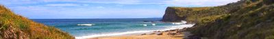
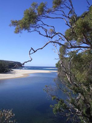
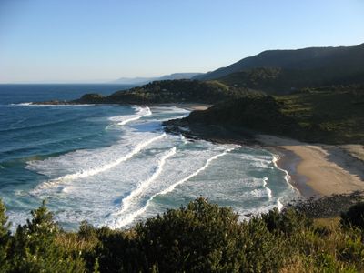
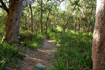
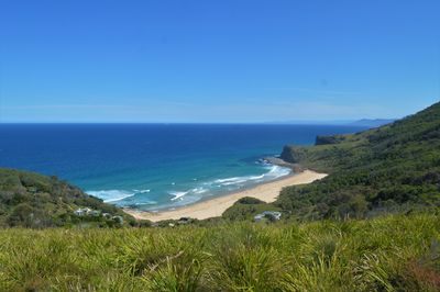
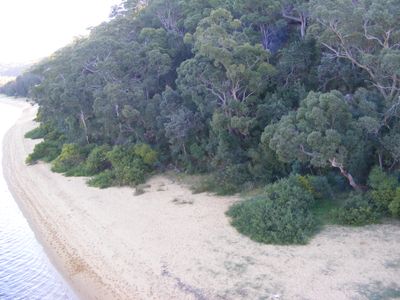
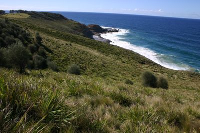
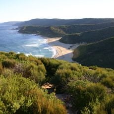
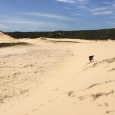
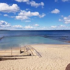
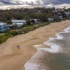
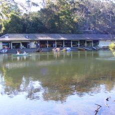
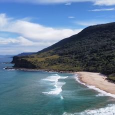
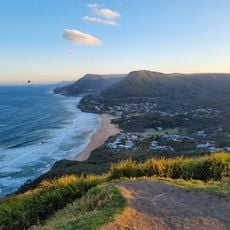
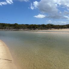
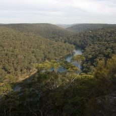
Royal National Park is a nature reserve south of Sydney featuring diverse landscapes including coastal cliffs, rainforests, beaches, and deep river valleys spread across 16,000 hectares. The terrain combines different ecosystems within a single connected area, creating varied habitats and walking routes.

The area was declared a national park in 1879, making it Australia's first and the world's second after Yellowstone. The Royal designation was added following Queen Elizabeth's visit in 1954, marking this moment in the park's development.

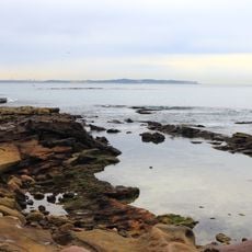
The site contains Aboriginal rock engravings at Jibbon Head depicting whales and sky spirits, which reflect the deep connection indigenous people maintained with this coastal area. These carvings tell stories passed down through many generations and remain visible along the rock faces today.

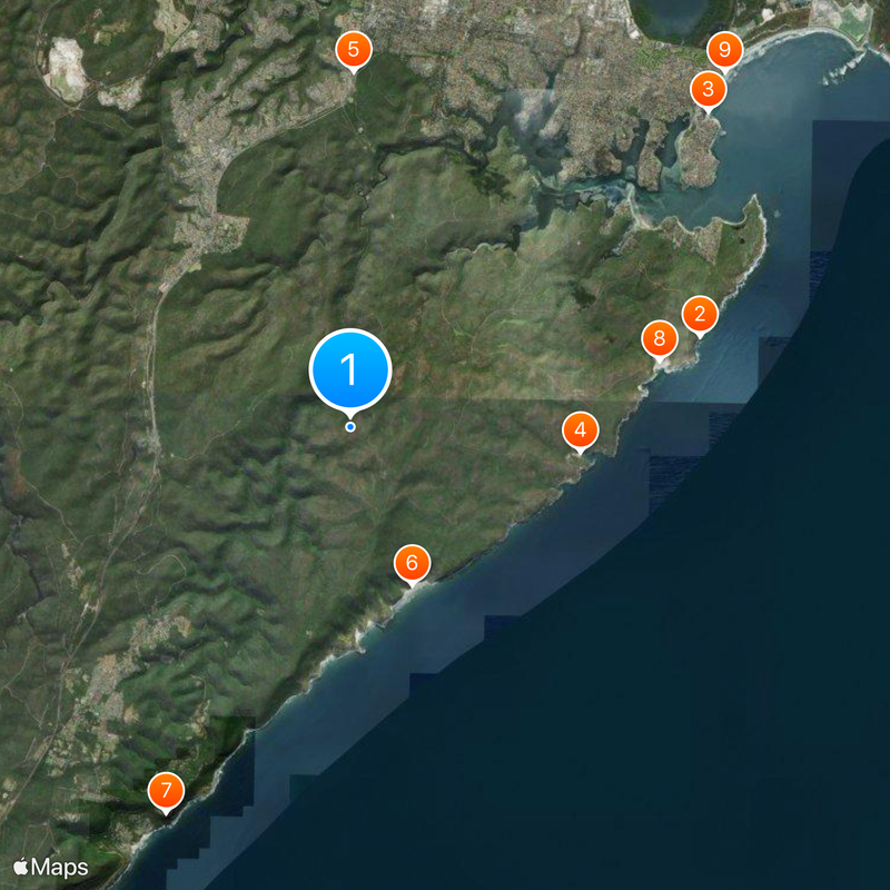
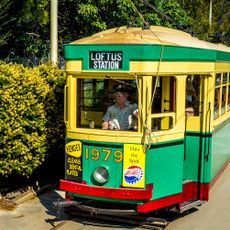
Visitors can enter the park from several access points including Loftus, Waterfall, and Otford, or take a ferry from Cronulla to Bundeena. Plan visits during warmer months when trails are in good condition and walking is comfortable throughout the day.

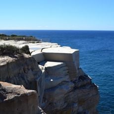
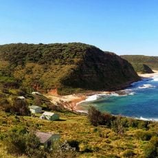
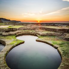
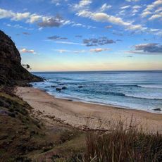
The Coast Track is a multiday walking route along sandstone cliffs connecting Bundeena and Otford, passing Wedding Cake Rock, hidden coves, and forest paths. This striking rock formation and secluded beaches represent highlights that many casual visitors do not discover.

Location: New South Wales

Location: Sutherland Shire

Location: Heathcote

Inception: 1879

Elevation above the sea: 147 m

Operator: NSW National Parks and Wildlife Service

Shares border with: Helensburgh, Waterfall, Heathcote, Lilyvale, Engadine, Yarrawarrah, Kirrawee, Grays Point, Loftus, Sutherland, Gymea, Bundeena, Maianbar

Website: http://nationalparks.nsw.gov.au/visit-a-park/parks/Royal-National-Park

GPS coordinates: -34.13167,151.05111

Latest update: December 14, 2025 20:18

Photos
Reviews

Visited this place? Tap the stars to rate it and share your experience / photos with the community! Try now! You can cancel it anytime.

« Royal National Park - Nature reserve south of Sydney, Australia » is provided by Around Us (aroundus.com). Images and texts are derived from Wikimedia project under a Creative Commons license. You are allowed to copy, distribute, and modify copies of this page, under the conditions set by the license, as long as this note is clearly visible.

Discover hidden gems everywhere you go!

From secret cafés to breathtaking viewpoints, skip the crowded tourist spots and find places that match your style. Our app makes it easy with voice search, smart filtering, route optimization, and insider tips from travelers worldwide. Download now for the complete mobile experience.

Around Us App Screenshot

A unique approach to discovering new places

Le Figaro

All the places worth exploring

France Info

A tailor-made excursion in just a few clicks

20 Minutes