Como railway bridge, Railway bridge in Como, New South Wales, Australia
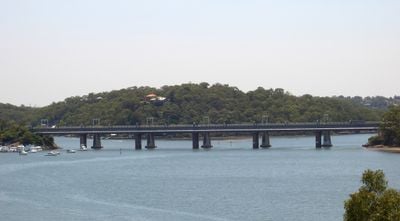
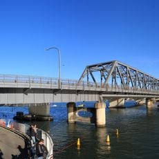
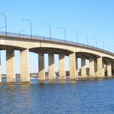
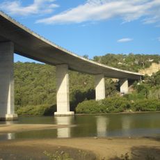
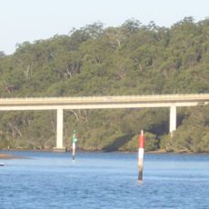
The Como Railway Bridge stretches 291 meters across the Georges River, connecting the suburbs of Oatley and Como through six spans supported by five piers in the water. The structure uses a lattice truss design and carries not only pedestrians and cyclists but also water pipelines that transport water from Woronora Dam to Penshurst reservoirs.
John Whitton, Chief Engineer of New South Wales Government Railways, designed this lattice truss structure which opened on December 26, 1885 to extend the Illawarra railway line. It was one of twelve prefabricated iron lattice trusses imported from British suppliers between 1871 and 1887 for use across New South Wales railways.
The bridge shifted from railway use to a public walking and cycling route in 1985, showing how communities adapt their infrastructure to new needs. Today locals and visitors cross it regularly to move through the area and enjoy views along the Georges River.
The bridge is open to pedestrians and cyclists as a public pathway and provides a convenient crossing between the two suburbs. Visit during daylight hours for safety and to enjoy views across the river and surrounding landscape.
Beneath the walking surface, the bridge carries two large water pipelines that transport water across many kilometers, a hidden function not obvious to casual visitors. This dual purpose shows how historical structures were cleverly repurposed for modern infrastructure needs.
The community of curious travelers
AroundUs brings together thousands of curated places, local tips, and hidden gems, enriched daily by 60,000 contributors worldwide.