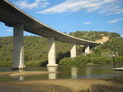
Woronora River Bridge, Stone bridge in Southern Sydney, Australia
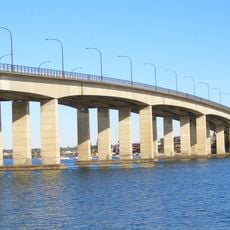
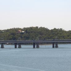
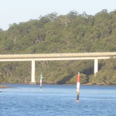
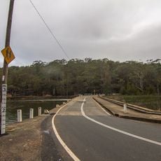
The Woronora River Bridge is a stone structure spanning the waterway in Southern Sydney, connecting Bangor to Sutherland. It carries four vehicle lanes alongside a shared path for pedestrians and cyclists across its 521-meter length.
The current structure was completed in 2001, replacing a two-lane predecessor built in 1981 that had itself superseded an original timber crossing from 1912. These successive replacements reflect how increasing traffic demands shaped the region's infrastructure over nearly a century.
The name Woronora comes from Aboriginal language and refers to the black rocks that define the river's natural landscape. Visitors can experience this connection by observing the distinctive rocky formations visible from the bridge as they walk across.
The bridge can be accessed from Menai Road on the Bangor side or Prince Edward Park Road on the Sutherland side, with clear entry points for each approach. The dedicated pedestrian and cycling path is accessible year-round and provides a safe alternative to the vehicle lanes.
At its completion, it was the largest incrementally launched structure in the Southern Hemisphere. This construction method allowed engineers to span the river without extensive temporary frameworks.
The community of curious travelers
AroundUs brings together thousands of curated places, local tips, and hidden gems, enriched daily by 60,000 contributors worldwide.