Macquarie Place, Urban park in Sydney Central Business District, Australia
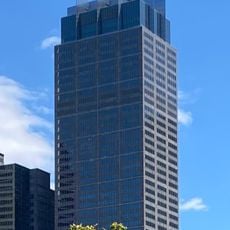
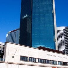
Macquarie Place is a small triangular park at the corner of Bridge Street and Loftus Street in Sydney's central business district. Its paved walkways are bordered by grass and trees, with wooden benches along the path. The park holds a dark grey, four-sided obelisk with a carved relief emblem near its base, standing in front of a multi-storey building, and a light-coloured stone building with arched windows and columns is partly hidden by trees.
Governor Lachlan Macquarie had this site laid out around 1810 as the first formally planned public space in Australia, on ground that was previously swampy. The obelisk was added in 1818 to serve as the official zero point for distance measurements across the colony.
The obelisk in the park was once the starting point for measuring distances across New South Wales, and its inscriptions are still readable today. Near it stands an anchor from the First Fleet, which visitors can see up close without any barrier.
The park sits in the middle of Sydney's city center and is easy to reach on foot from many public transport stops. It is open throughout the day and works well as a short break during a walk through the surrounding streets.
Two plane trees in the park were planted in 1954 by Queen Elizabeth II and Prince Philip during their first visit to Australia, and they are still standing today. What is easy to miss is that this small space, surrounded by office towers, holds not one but several layers of colonial history in a single glance.
The community of curious travelers
AroundUs brings together thousands of curated places, local tips, and hidden gems, enriched daily by 94,382 contributors worldwide.