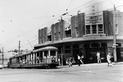
Annandale, Administrative district in Sydney Inner West, Australia
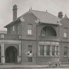
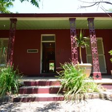
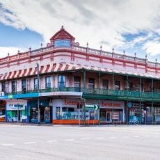
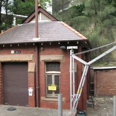
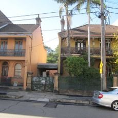
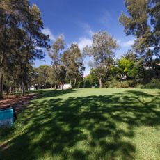
Annandale is a residential district in Sydney's Inner West that reaches toward Rozelle Bay on Sydney Harbour, with clear boundaries formed by neighboring suburbs. The area contains a mix of older heritage buildings and residential streets that define its local character.
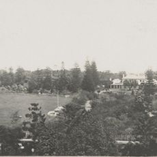
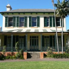
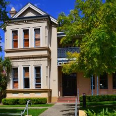
Major George Johnston received a large land grant in 1799 and named the area after his Scottish hometown, establishing Annandale House as the original settlement. This early foundation set the pattern for residential development that followed over the next two centuries.
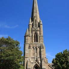
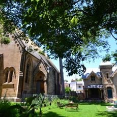
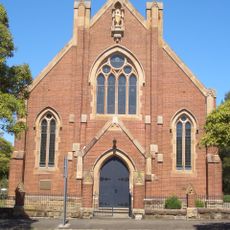
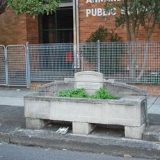
The Hunter Baillie Memorial Presbyterian Church reflects the religious life that has shaped this neighborhood for generations. Walking through the streets, you notice how local institutions still serve as gathering places for residents.
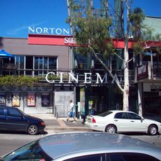
Bus services run regularly along Booth Street and Parramatta Road, making it easy to reach the city center and surrounding areas. Walking is the best way to explore the neighborhood and appreciate the character of the residential streets.
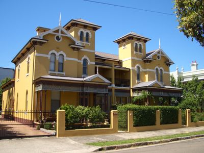
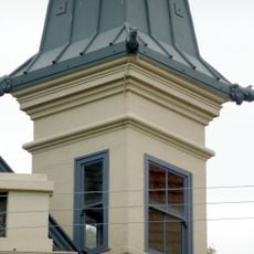
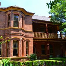
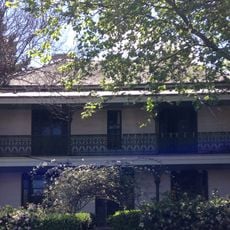
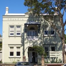
Developer John Young built distinctive stone houses with unusual roof designs throughout the district, creating a quirky architectural signature. These eye-catching features remain visible on many older buildings when you walk the neighborhood streets.
The community of curious travelers
AroundUs brings together thousands of curated places, local tips, and hidden gems, enriched daily by 60,000 contributors worldwide.