Warringah Council, Former municipal administration district in Northern Beaches, Australia.
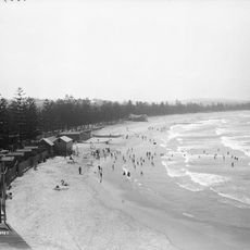
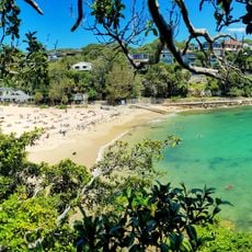
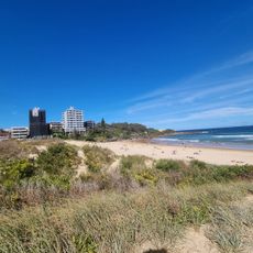
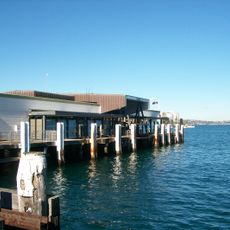
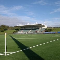
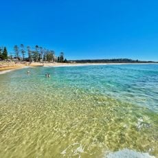
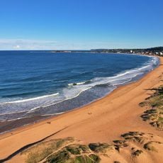
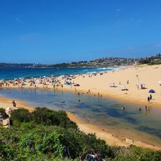
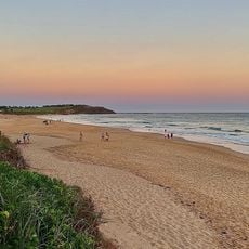
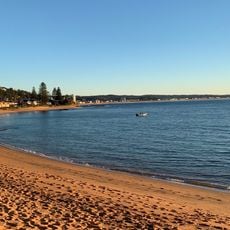
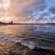
Warringah Council was an administrative district in Northern Beaches north of Sydney with nine beaches and an extensive coastline. The area featured varied landscapes ranging from developed beach communities to large expanses of bushland inland.
The administrative region was established in 1906 as Warringah Shire Council and governed the area for over a century. In 2016 it merged with neighboring districts to form Northern Beaches Council, ending its separate operations.
The name Warringah came from an Aboriginal language and referred to Middle Harbor, anchoring the region to its Indigenous Australian roots. This naming tradition reflected the long history of the original inhabitants who lived on these lands before European arrival.
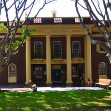
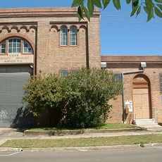
The administrative headquarters was located at Warringah Civic Centre in Dee Why on Pittwater Road, serving as the main hub for resident matters. Visitors could explore the region easily since the coastal communities and bushland areas were well accessible from nearby roads.
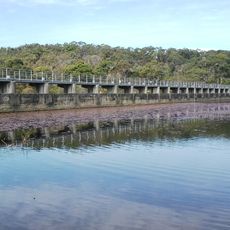
The territory contained significant natural bushland areas nestled between two major lagoons, Narrabeen to the north and Manly to the south. These two bodies of water shaped the landscape and created space for varied ecosystems within the administrative region.
The community of curious travelers
AroundUs brings together thousands of curated places, local tips, and hidden gems, enriched daily by 60,000 contributors worldwide.