
South Murwillumbah, Suburb of Tweed Heads, New South Wales, Australia
Location: Tweed Shire Council
GPS coordinates: -28.33241,153.40047
Latest update: March 25, 2025 18:19
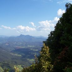
Mount Warning
14.6 km
Currumbin Wildlife Sanctuary
23.5 km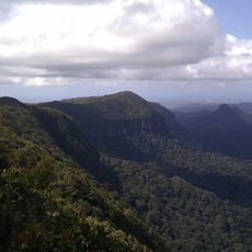
Springbrook National Park
24.7 km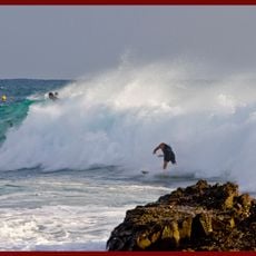
Snapper Rocks
23.9 km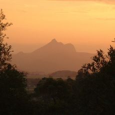
Tweed Volcano
14.9 km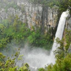
Purlingbrook Falls
20.3 km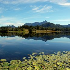
Clarrie Hall Dam
15 km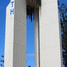
Point Danger Light
23.8 km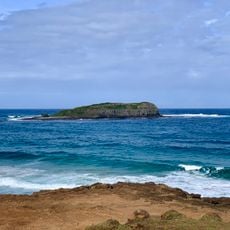
Cook Island Aquatic Reserve
23.1 km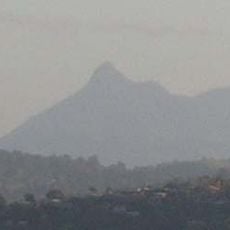
Wollumbin National Park
14.4 km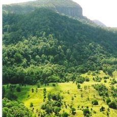
Numinbah Nature Reserve
16 km
Mount Jerusalem National Park
19.8 km
Nicoll Scrub National Park
16.3 km
Goomoolahra Falls
16.7 km
Fingal Head Light
22.3 km
Reedy Creek Observatory
25.9 km
Springbrook Road
21.8 km
Palm Beach Surf Club
24.8 km
Tweed River Art Gallery
1.8 km
West Burleigh Store
24.8 km
Brunswick Valley Heritage Park
25.9 km
Springbrook State School
18.6 km
Tallebudgera Post Office
21.4 km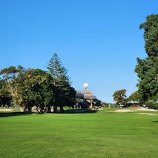
Coolangatta & Tweed Heads Golf Club
20.8 km
Fingal Head Beach
22.3 km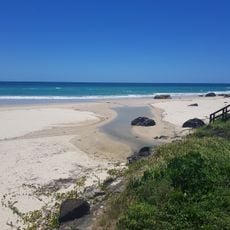
Bilinga Beach
22.4 km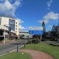
Twin Towns Services Club
23.1 km
Palm Beach
24.8 kmReviews
Visited this place? Tap the stars to rate it and share your experience / photos with the community! Try now! You can cancel it anytime.
Discover hidden gems everywhere you go!
From secret cafés to breathtaking viewpoints, skip the crowded tourist spots and find places that match your style. Our app makes it easy with voice search, smart filtering, route optimization, and insider tips from travelers worldwide. Download now for the complete mobile experience.

A unique approach to discovering new places❞
— Le Figaro
All the places worth exploring❞
— France Info
A tailor-made excursion in just a few clicks❞
— 20 Minutes