Moreton Island National Park, National park on Moreton Island, Queensland, Australia.
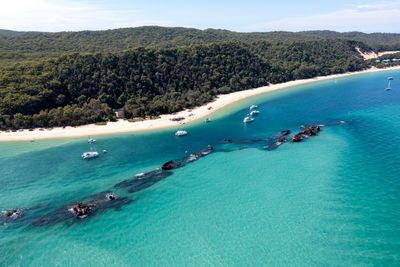
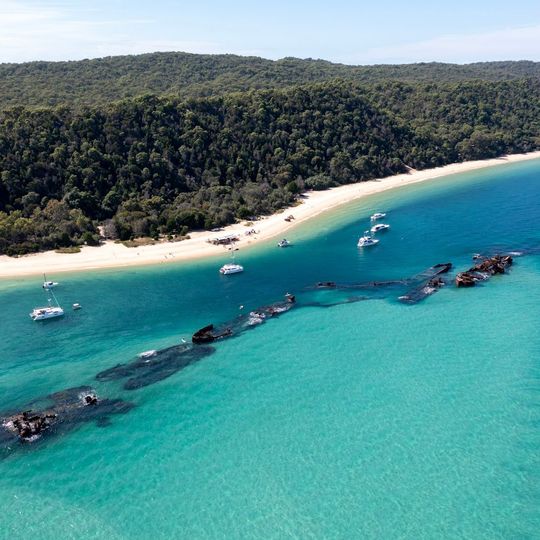
Moreton Island National Park is a protected area spanning the island with sand dunes, freshwater lakes, mangrove forests, and coastal plants distributed across the landscape. The highest points on the island reach about 122 meters above sea level.
The island's national park was established on 7 September 2007, covering 98% of Moreton Island (Mulgumpin). In 2021 the park was renamed Gheebulum Kunungai National Park after ownership of the island passed from the Queensland Government back to the Quandamooka People. Gheebulum and Kunungai are the Quandamooka names of two sand hills inside the park.
The island is Mulgumpin to the Quandamooka People, who regained ownership of it from the Queensland Government in 2021. The park was then renamed Gheebulum Kunungai after two sand hills the Quandamooka hold spiritually significant. The names are the ones to look for on signs and maps.
The park is accessible by ferry or private vehicle from Brisbane, with camping available in designated areas by permit. Come prepared for sandy trails and bring plenty of water and sun protection.
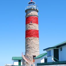
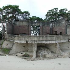
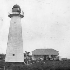
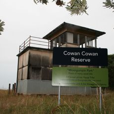
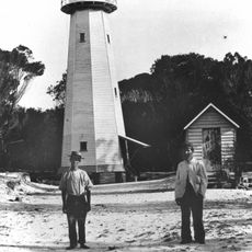
The island's name Mulgumpin refers to the sand hills, and the park's 2021 name honours two spiritually significant sand hills, Gheebulum and Coonungai. Queensland's oldest operating lighthouse stands at Cape Moreton on the northern tip, and relics of the Australian soldiers stationed at Cowan during WWII remain on the island.
The community of curious travelers
AroundUs brings together thousands of curated places, local tips, and hidden gems, enriched daily by 94,786 contributors worldwide.