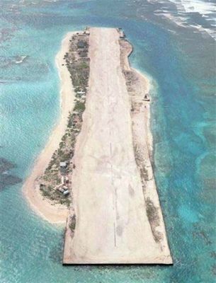
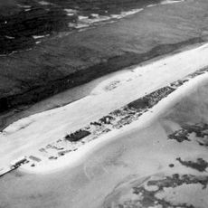
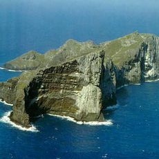
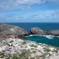
Tern Island, Coral island in French Frigate Shoals, Hawaii, United States.
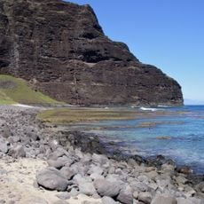
Tern Island is a small coral cay located in the French Frigate Shoals, stretching approximately one kilometer in length with a width of around 150 meters. The terrain is relatively flat, and a decommissioned airstrip runs along its central portion.
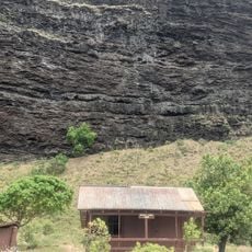
The island was developed by the United States Navy in 1942 as a military airbase, with construction expanding its surface area significantly. After the war, the facility was abandoned for military purposes and the site eventually transitioned to wildlife protection.
The island serves as a protected breeding ground that locals and conservationists view as essential for maintaining seabird populations in Hawaiian waters. Visitors can observe how the site remains dedicated to this conservation purpose through its restricted access and careful management.
Access to the island is strictly controlled and requires special permits from wildlife authorities since it operates as a protected reserve. Only authorized personnel such as researchers and conservation staff can visit, making regular tourism not possible.
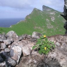
The island hosts numerous seabird species along with green sea turtles and Hawaiian monk seals that make their home here year-round. This concentration of marine wildlife in one location makes the site remarkable for conservation efforts.
The community of curious travelers
AroundUs brings together thousands of curated places, local tips, and hidden gems, enriched daily by 60,000 contributors worldwide.