Papahānaumokuākea Marine National Monument
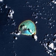
Papahānaumokuākea Marine National Monument, Marine national monument in Northwestern Hawaiian Islands, United States.
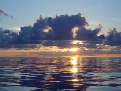
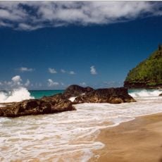
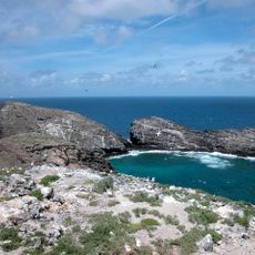
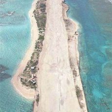
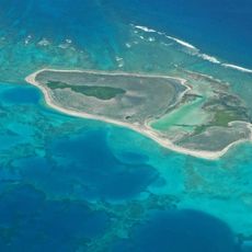
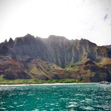
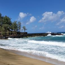
Papahānaumokuākea is a protected marine area in the northwestern Hawaiian waters that includes ten islands, atolls, coral reefs, and deep-sea ecosystems. The reserve covers roughly 582,000 square miles (1,5 million square kilometers) and provides habitat for marine mammals, seabirds, and reef fish.
President Theodore Roosevelt began protection efforts in 1909 by establishing the Hawaiian Islands Bird Reservation. The area gained national monument status in 2006 and received World Heritage designation shortly afterward.
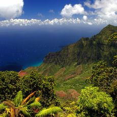
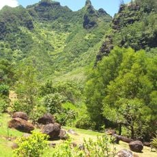
The name honors Papahānaumoku and Wākea, figures from Native Hawaiian tradition who represent earth mother and sky father. For many islanders, these waters hold ancestral ties dating back to the earliest Polynesian voyagers who knew the reefs as guiding landmarks.
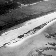
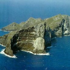
Access requires special permits because the area remains strictly protected and open only for scientific research and Native Hawaiian traditional practices. The Mokupāpapa Discovery Center in Hilo offers visitors exhibits and educational programs about the reserve and its inhabitants.
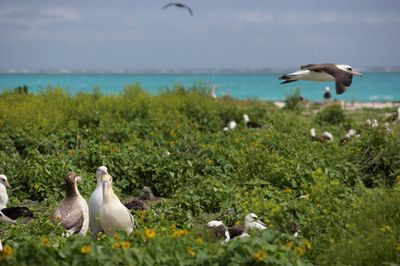
Scientists have documented over 7,000 species in the reserve, with about one quarter found nowhere else on Earth. The Hawaiian monk seal ranks among the rarest marine mammals and lives mainly in the protected waters and beaches of these remote islands.
Location: Honolulu County
Location: territorial waters of the United States
Location: Exclusive economic zone of the United States
Location: United States Minor Outlying Islands
Inception: June 15, 2006
Founders: George W. Bush
Website: http://papahanaumokuakea.gov/about/welcome.html
GPS coordinates: 25.70000,-171.73333
Latest update: December 12, 2025 19:45
French Frigate Shoals
615 km
Kure Atoll
720.6 km
Nā Pali Coast State Park
1290.3 km
Waimea Canyon State Park
1293 km
Kalalau Trail
1291.8 km
Nihoa
1036.9 km
Russian Fort Elizabeth
1297.2 km
Hanakapiai Beach
1293.6 km
Necker Island
749.8 km
Tern Island
587.1 km
WWVH
1286.3 km
Pearl and Hermes Atoll
471.2 km
Polihale State Park
1283.4 km
Haʻena State Park
1294.4 km
Hanakapiai Falls
1294.8 km
Makana
1295 km
Kalalau Beach
1288.9 km
Limahuli Garden and Preserve
1295.3 km
Mount Paniau
1257.5 km
Lumahaʻi Beach
1300 km
Midway Atoll National Wildlife Refuge
626.1 km
World War II Facilities at Midway
622.8 km
Cook Landing Site
1297.1 km
Hawaii Route 560
1300.3 km
Barking Sands
1282.1 km
Koke'e State Park
1290.7 km
Civilian Conservation Corps Camp in Koke'e State Park
1290.3 km
Bishop National Bank of Hawaii
1296.5 kmVisited this place? Tap the stars to rate it and share your experience / photos with the community! Try now! You can cancel it anytime.
Discover hidden gems everywhere you go!
From secret cafés to breathtaking viewpoints, skip the crowded tourist spots and find places that match your style. Our app makes it easy with voice search, smart filtering, route optimization, and insider tips from travelers worldwide. Download now for the complete mobile experience.
A unique approach to discovering new places❞
— Le Figaro
All the places worth exploring❞
— France Info
A tailor-made excursion in just a few clicks❞
— 20 Minutes