Pearl and Hermes Atoll, Protected atoll in Northwestern Hawaiian Islands, United States.
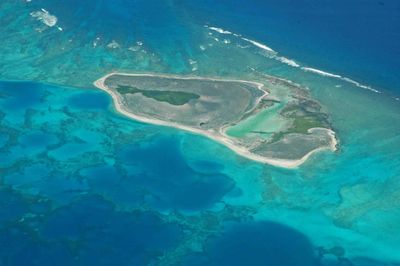
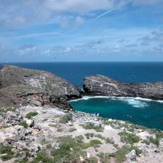
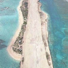
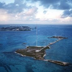
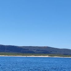
Pearl and Hermes Atoll is a coral reef system in the Northwestern Hawaiian Islands that spreads across roughly 450 square miles and includes several tiny sand islets with a combined land area of about 80 acres. The atoll sits approximately 1,200 miles northwest of Honolulu within the protected waters of Papahānaumokuākea Marine National Monument.
The name comes from two English whaling ships, the Pearl and the Hermes, which ran aground on the reef in 1822 and rescued their crews. The vessels were lost but the discovery brought the atoll into maritime awareness and eventually led to its protection as part of a national marine monument in 2006.
The atoll lies within Papahānaumokuākea, a name that reflects Hawaiian understanding of the connection between ocean depths and land. Native Hawaiian oral traditions view these remote reefs as resting places for ancestors and as a sacred extension of the island chain.
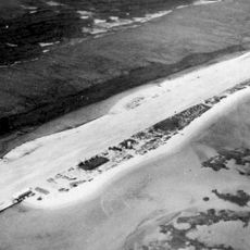
Visits require a special permit from conservation authorities and can only be reached by private vessel or organized research expeditions. No infrastructure exists on the islands, so travelers must be completely self-sufficient and bring all supplies and equipment with them.
The waters around this atoll host the greatest variety of marine life among all Northwestern Hawaiian Islands, including rare monk seal colonies and sea turtles. Divers report exceptionally clear water that allows visibility beyond 200 feet (60 meters).
The community of curious travelers
AroundUs brings together thousands of curated places, local tips, and hidden gems, enriched daily by 60,000 contributors worldwide.