Enable Location

We need your location to show you interesting places around you

Discover nearby places

Find interesting locations and hidden gems around you

Precise directions

Get accurate directions and distances to places

Your location is never shared with other users. It's only used when you tap the location button.

Kure Atoll

Log in to your account

Start exploring — it's free

Trusted by 62,022 travelers worldwide

Continue with Google
Continue with Apple
or

We will send you a code to connect

By continuing, you accept our Terms and Conditions and our Privacy Policy

Check your inbox

We've sent a pincode in your inbox. Please enter the code below.

Kure Atoll

Kure Atoll, Coral atoll in Northwestern Hawaiian Islands, US

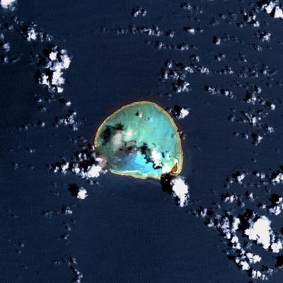
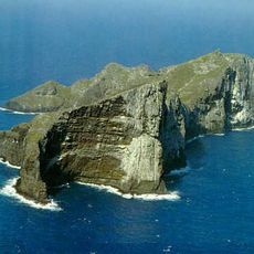
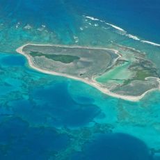
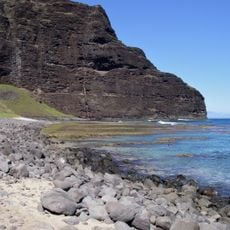
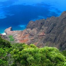
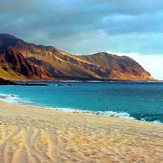
Kure Atoll is a coral atoll in the Northwestern Hawaiian Islands of the United States, reaching roughly six miles across at its widest point. Its central lagoon is enclosed by a ring of coral sand and reef, with Green Island forming the only permanent dry land.

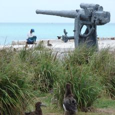
Several shipwrecks occurred here during the 19th century, leaving crews stranded for extended periods before rescue arrived. The area later became part of a protected marine reserve to safeguard its fragile coral formations.

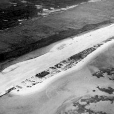
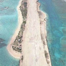
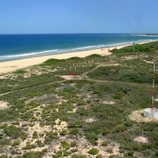
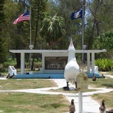
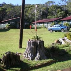
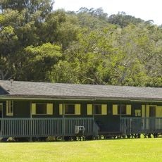
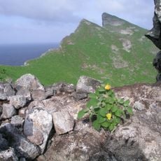
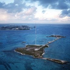
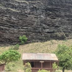
Green Island serves as the only dry land within the ring of coral, hosting small buildings that researchers and volunteers use during their seasonal stays. The island's vegetation consists mainly of low shrubs and grasses adapted to the salt spray and constant wind.

Access is restricted to approved research activities and seasonal conservation programs, with no general public visits allowed. Those interested in participating should inquire well in advance with the relevant authorities about volunteer opportunities.

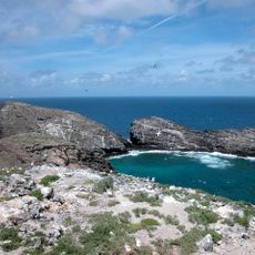
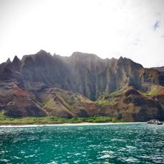
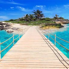
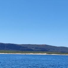
The coral reefs surrounding the atoll cover roughly 80,000 acres (32,000 hectares) and support twenty-eight species of stony coral. Researchers regularly observe rare marine organisms here that occur only in these remote waters.

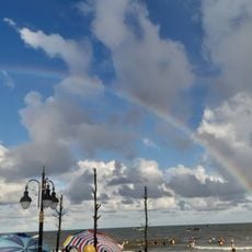
The community of curious travelers

AroundUs brings together thousands of curated places, local tips, and hidden gems, enriched daily by 60,000 contributors worldwide.

Start exploring
Location
Part of
Northwestern Hawaiian Islands
GPS coordinates
28.41667,-178.33333
Latest update
December 13, 2025 19:03
Around this place
Papahānaumokuākea Marine National Monument
United States of America

Papahānaumokuākea Marine National Monument

720.6 km
French Frigate Shoals
United States of America

French Frigate Shoals

1333.9 km
Nā Pali Coast State Park
United States of America

Nā Pali Coast State Park

2002.2 km
Kalalau Trail
United States of America

Kalalau Trail

2003.4 km
Nihoa
United States of America

Nihoa

1748.4 km
Necker Island
United States of America

Necker Island

1465.5 km
Tern Island
United States of America

Tern Island

1305.2 km
WWVH
United States of America

WWVH

1999.8 km
Pearl and Hermes Atoll
United States of America

Pearl and Hermes Atoll

253.3 km
Polihale State Park
United States of America

Polihale State Park

1996.1 km
Kalalau Beach
United States of America

Kalalau Beach

2000.8 km
Midway Atoll National Wildlife Refuge
United States of America

Midway Atoll National Wildlife Refuge

96.7 km
World War II Facilities at Midway
United States of America

World War II Facilities at Midway

99.3 km
Koke'e State Park
United States of America

Koke'e State Park

2002.9 km
Civilian Conservation Corps Camp in Koke'e State Park
United States of America

Civilian Conservation Corps Camp in Koke'e State Park

2002.5 km
Camp Sloggett
United States of America

Camp Sloggett

2003.7 km
Tanager Peak
United States of America

Tanager Peak

1748.9 km
Nualolo Kai Beach
United States of America

Nualolo Kai Beach

1997.7 km
Sand Island
United States of America

Sand Island

1582.8 km
Kalaoa Beach
United States of America

Kalaoa Beach

1970.9 km
Kamalino Beach
United States of America

Kamalino Beach

1961.9 km
Puʻuwai Beach
United States of America

Puʻuwai Beach

1962.2 km
Honopu Beach
United States of America

Honopu Beach

2000.3 km
Miloliʻi Beach
United States of America

Miloliʻi Beach

1996.4 km
Keamano Beach
United States of America

Keamano Beach

1969.5 km
Sand Island Light
United States of America

Sand Island Light

96.4 km
Pōleho
United States of America

Pōleho

1972.1 km
Keanahaki Beach
United States of America

Keanahaki Beach

1968.1 km
Show the full map
« Kure Atoll - Coral atoll in Northwestern Hawaiian Islands, US » is provided by Around Us (aroundus.com). Images and texts are derived from Wikimedia project under a Creative Commons license. You are allowed to copy, distribute, and modify copies of this page, under the conditions set by the license, as long as this note is clearly visible.

Discover hidden gems everywhere you go!

From secret cafés to breathtaking viewpoints, skip the crowded tourist spots and find places that match your style. Our app makes it easy with voice search, smart filtering, route optimization, and insider tips from travelers worldwide. Download now for the complete mobile experience.

Around Us App Screenshot

A unique approach to discovering new places

Le Figaro

All the places worth exploring

France Info

A tailor-made excursion in just a few clicks

20 Minutes

Around Us
Travel Guide & Maps
Download

Send to your phone

QR Code
1

Open the camera app on your mobile.

2

Point at the QR code with your camera. A notification will appear.

3

Tap the notification to open the link.