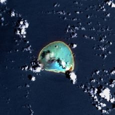
World War II Facilities at Midway, Military fortification complex in Midway Atoll, United States.
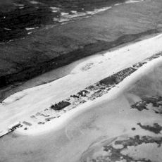
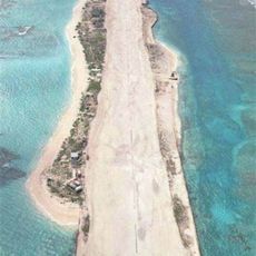
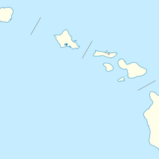
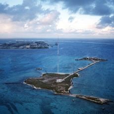
The World War II Facilities at Midway are a historic complex of coastal defenses, gun batteries, and three runways spread across Sand Island and Eastern Island. The concrete and steel structures that remain on the ground give a direct sense of the scale of the military effort once concentrated on this remote Pacific atoll.
The base was developed in the 1930s after the United States recognized the value of its position in the Pacific. In June 1942, forces based here stopped a Japanese advance during a naval battle that shifted the course of the Pacific War.
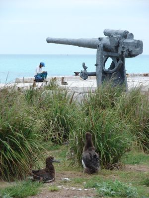
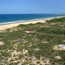
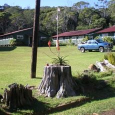
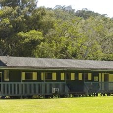
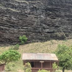
The gun positions and bunkers on Sand Island show how every corner of the atoll was organized around a single defensive purpose. Walking among the remains gives a direct sense of how troops lived and worked in a remote outpost with no nearby land for support.
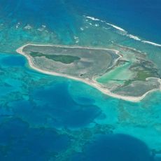
The area is managed by the US Fish and Wildlife Service and is not open to the general public. Anyone hoping to visit should contact the relevant authority well in advance, as access is generally limited to authorized personnel and researchers.
Eastern Island, where one of the three runways sits, is today largely uninhabited and taken over by nesting seabirds that use the old military structures as shelter. The same ground that once supported aircraft now hosts one of the largest Laysan albatross colonies on the planet.
The community of curious travelers
AroundUs brings together thousands of curated places, local tips, and hidden gems, enriched daily by 60,000 contributors worldwide.