Unalakleet, city in Alaska, United States
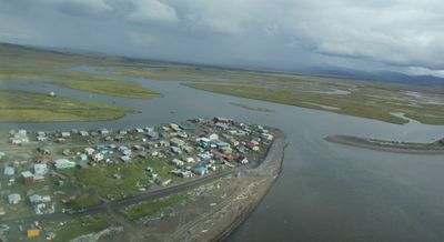
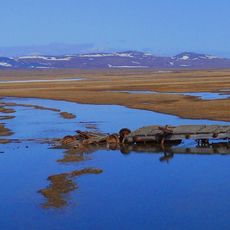
Unalakleet is a small city on Alaska's western coast near the Bering Strait. The settlement sits at the mouth of the Unalakleet River and spreads along the shoreline with modest buildings and simple structures.
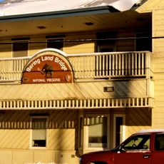
This coastal settlement was founded by Inupiat Inuit and served as an important trading point for regional inhabitants for generations. The city became a transportation hub for flights and boat connections to remote areas of Alaska.
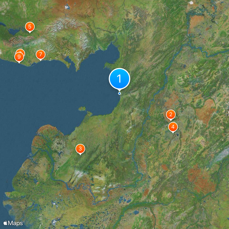
The site is mainly reached by airplane since few roads connect to it. Visitors should prepare for Arctic conditions and bring warm clothing and sturdy footwear.
The city serves as a famous checkpoint during the Iditarod sled dog race, one of the world's most renowned dog sledding competitions. Hundreds of spectators arrive each year to watch the mushers and their teams tackle this grueling event.
The community of curious travelers
AroundUs brings together thousands of curated places, local tips, and hidden gems, enriched daily by 60,000 contributors worldwide.