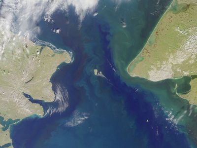
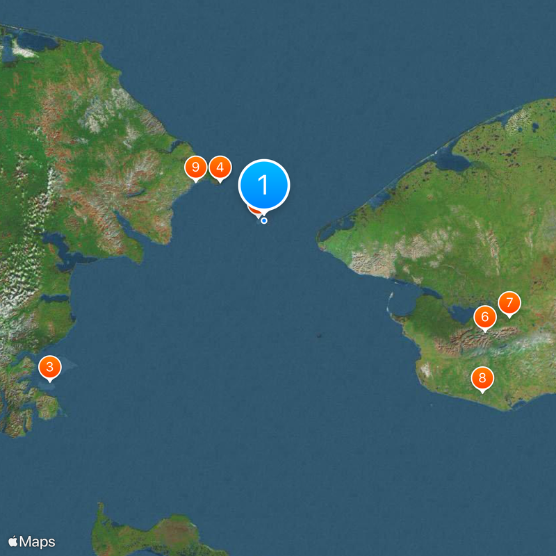
Bering Strait, Marine passage between Alaska, United States and Chukotka, Russia.
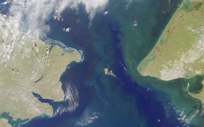
This marine passage between Alaska and Chukotka connects the Pacific Ocean with the Arctic Ocean across 82 kilometers at its narrowest point. The Diomede Islands in the middle divide the waterway into two channels, with the shallow shelf sea allowing strong currents between both ocean basins.
In 1728 Danish explorer Vitus Bering sailed through these waters and proved the separation between continents. The route later gained strategic importance during the Cold War when both shores were controlled by opposing political systems.
Indigenous peoples on both coasts have used the waterway for hunting and trade between continents for thousands of years. These connections show today in shared cultural practices and the continuing importance of marine mammals for local communities.
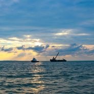
The waterway reaches depths of 90 meters (295 feet) and allows considerable ship traffic through both channels. Nutrient-rich currents from the Pacific into the Arctic create special conditions for marine life and influence the regional climate.
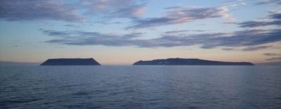
The International Date Line runs through the water and creates a 23-hour time difference between the Diomede Islands, which are only four kilometers (2.5 miles) apart. On clear days people on both islands can see yesterday and today simultaneously while watching each other across the water.
The community of curious travelers
AroundUs brings together thousands of curated places, local tips, and hidden gems, enriched daily by 60,000 contributors worldwide.