
Mount Natazhat, mountain in United States of America
Location: Alaska
Elevation above the sea: 4,095 m
GPS coordinates: 61.52194,-141.10111
Latest update: August 19, 2025 01:54
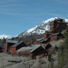
Kennecott
95 km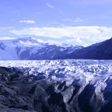
Wrangell–St. Elias National Park and Preserve
98.9 km
Kluane National Park and Reserve
36.6 km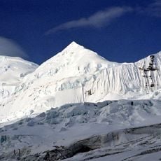
Mount Bona
37.7 km
Kluane / Wrangell – St. Elias / Glacier Bay / Tatshenshini-Alsek
36.6 km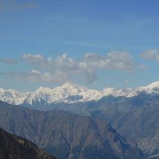
Mount Lucania
65.2 km
Mount Churchill
34.6 km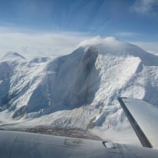
Mount Steele
63.8 km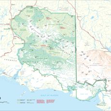
Mount Bear
26.4 km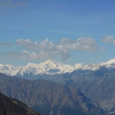
Mount Wood
45 km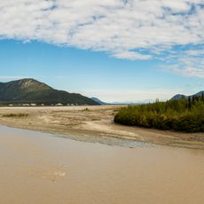
White River
94.5 km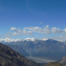
Mount Slaggard
47.7 km
Mount Walsh
81.8 km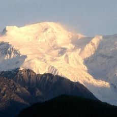
Wrangell – Saint Elias Wilderness
38.9 km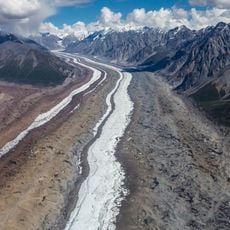
Barnard Glacier
46.9 km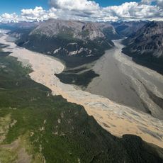
Nizina River
91.1 km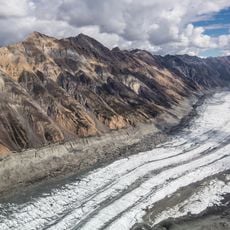
Logan Glacier
83 km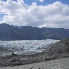
Donjek Glacier
84.9 km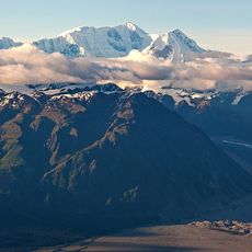
Aello Peak
46.1 km
McCarthy General Store
97.2 km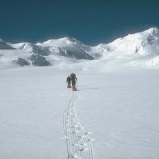
Klutlan Glacier
8.9 km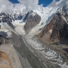
Hawkins Glacier
53.1 km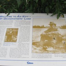
Asi Keyi Territorial Park
48.5 km
Root Glacier
96.1 km
Ogilvie Glacier
89.2 km
Chitina Glacier
65.1 km
Baldwin Glacier
81.4 km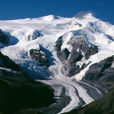
West Fork Glacier
90 kmReviews
Visited this place? Tap the stars to rate it and share your experience / photos with the community! Try now! You can cancel it anytime.
Discover hidden gems everywhere you go!
From secret cafés to breathtaking viewpoints, skip the crowded tourist spots and find places that match your style. Our app makes it easy with voice search, smart filtering, route optimization, and insider tips from travelers worldwide. Download now for the complete mobile experience.

A unique approach to discovering new places❞
— Le Figaro
All the places worth exploring❞
— France Info
A tailor-made excursion in just a few clicks❞
— 20 Minutes