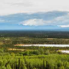
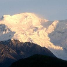
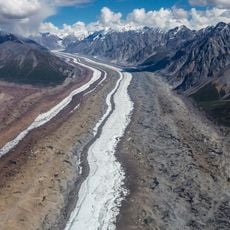
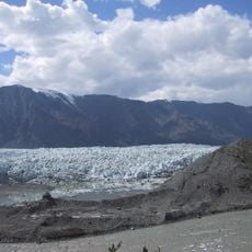
White River, Brook in Yukon Territory, Canada.
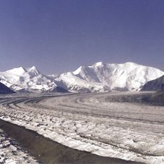
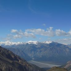
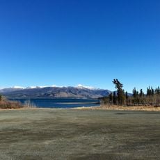
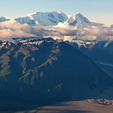
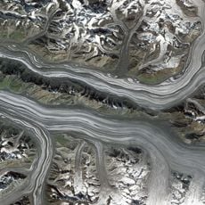
The White River is a glacier-fed tributary of the Yukon River, about 320 km long, rising in the Wrangel Mountains of Alaska and entering the Yukon in Canada. Its basin covers 50,500 km², of which 12,500 km² lie in the United States and 38,000 km² in Canada. The Alaska Highway crosses it near Beaver Creek.
The White River is a tributary of the Yukon River, about 320 km long, rising in the Wrangel Mountains of Alaska and entering the Yukon in Canada. Its basin covers 50,500 km², of which 12,500 km² lie in the United States and 38,000 km² in Canada. The Alaska Highway crosses the river near Beaver Creek.
The Hän name for the river is Tadzan ndek, and the English and French names mean "white river," referring to the pale, sediment-heavy water. The Alaska Highway crosses the White River near Beaver Creek, making that crossing the main point where travellers see the river.
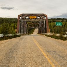
The Alaska Highway crosses the White River near Beaver Creek, the usual point of road access; elsewhere the river runs through roadless country reached by boat or aircraft. Its load of suspended sediment colours the water milky white, so treat it as silty rather than clear. Flow is highest during summer glacier melt.
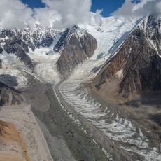
The White River carries about 19 million tons of sediment a year in its upper basin, enough to keep the Yukon River muddy from their confluence all the way to the sea. The Alaska Highway crosses it near Beaver Creek.
The community of curious travelers
AroundUs brings together thousands of curated places, local tips, and hidden gems, enriched daily by 94,049 contributors worldwide.