Enable Location

We need your location to show you interesting places around you

Discover nearby places

Find interesting locations and hidden gems around you

Precise directions

Get accurate directions and distances to places

Your location is never shared with other users. It's only used when you tap the location button.

Oxnard

Log in to your account

Start exploring — it's free

Trusted by 61,996 travelers worldwide

Continue with Google
Continue with Apple
or

We will send you a code to connect

By continuing, you accept our Terms and Conditions and our Privacy Policy

Check your inbox

We've sent a pincode in your inbox. Please enter the code below.

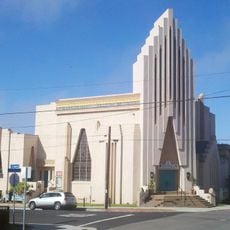
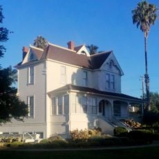
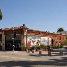
Oxnard, Coastal city in Ventura County, United States

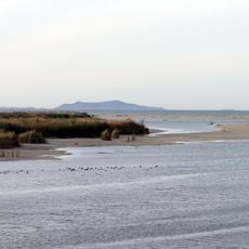
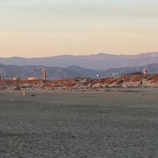
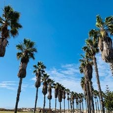
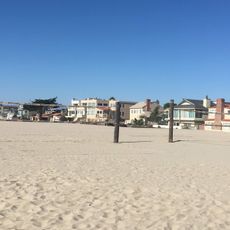
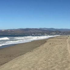
Oxnard is a coastal city in Ventura County, California, stretching along the Pacific between Los Angeles and Santa Barbara, surrounded by fertile plains with a Mediterranean climate. The city features extensive agricultural fields, residential neighborhoods, and a port serving as a commercial center.

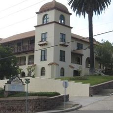
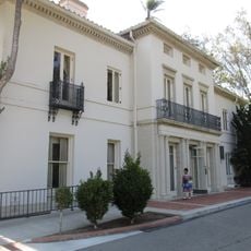
The settlement grew around a sugar beet factory built by the Oxnard brothers in 1898, processing beets from the surrounding fields and drawing workers to the area. Official incorporation followed in 1903 as a permanent community developed.

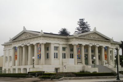
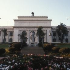
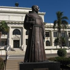
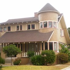
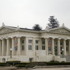
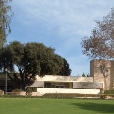
The Carnegie Library from 1907 now houses an art museum displaying works by California artists and rotating exhibitions of regional painting and sculpture. Visitors find collections documenting the artistic heritage of the region, displayed in a historic building.

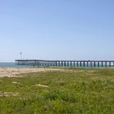
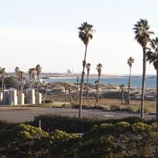
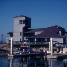
The US-101 freeway connects the city with other coastal towns in both directions, running through the urban area. The Port of Hueneme handles commercial shipping and sits on the western edge of the city.

Numerous strawberry fields surround the city and contribute a substantial portion of California's production, with harvesting taking place nearly year-round. Fresh berries are readily available at local markets and roadside stands during peak season.

The community of curious travelers

AroundUs brings together thousands of curated places, local tips, and hidden gems, enriched daily by 60,000 contributors worldwide.

Start exploring
Location
Shares border with
Ventura, Port Hueneme
GPS coordinates
34.19139,-119.18250
Latest update
December 12, 2025 20:17
Around this place
Mission San Buenaventura
United States of America

Mission San Buenaventura

14.6 km
Mullin Automotive Museum
United States of America

Mullin Automotive Museum

2 km
Ventura Pier
United States of America

Ventura Pier

13.6 km
Henry Levy House
United States of America

Henry Levy House

1.2 km
San Buenaventura State Beach
United States of America

San Buenaventura State Beach

12.3 km
McGrath State Beach
United States of America

McGrath State Beach

7.9 km
Majestic Ventura Theatre
United States of America

Majestic Ventura Theatre

14.1 km
Mandalay State Beach
United States of America

Mandalay State Beach

6.2 km
Ventura County Courthouse
United States of America

Ventura County Courthouse

14.3 km
Oxnard State Beach
United States of America

Oxnard State Beach

5.4 km
Statues of Junípero Serra
United States of America

Statues of Junípero Serra

14.3 km
Elizabeth Bard Memorial Hospital
United States of America

Elizabeth Bard Memorial Hospital

14 km
Point Hueneme Light
United States of America

Point Hueneme Light

5.7 km
Henry T. Oxnard Historic District
United States of America

Henry T. Oxnard Historic District

1.1 km
Golf 'N' Stuff
United States of America

Golf 'N' Stuff

7.8 km
First Baptist Church of Ventura
United States of America

First Baptist Church of Ventura

13.5 km
Dudley House
United States of America

Dudley House

10.8 km
San Miguel Chapel Site
United States of America

San Miguel Chapel Site

14.3 km
Peirano Market
United States of America

Peirano Market

14.5 km
Berylwood
United States of America

Berylwood

4 km
Emmanuel Franz House
United States of America

Emmanuel Franz House

14.3 km
Carnegie Art Museum
United States of America

Carnegie Art Museum

799 m
Women's Improvement Club of Hueneme
United States of America

Women's Improvement Club of Hueneme

4.9 km
Hollywood Beach
United States of America

Hollywood Beach

5.4 km
Campus del Ventura County Community College District
United States of America

Campus del Ventura County Community College District

10.6 km
Silver Strand State Beach
United States of America

Silver Strand State Beach

5.7 km
Robert J. Lagomarsino Visitor Center
United States of America

Robert J. Lagomarsino Visitor Center

10 km
McGrath State Beach
United States of America

McGrath State Beach

7.7 km
Show the full map
« Oxnard - Coastal city in Ventura County, United States » is provided by Around Us (aroundus.com). Images and texts are derived from Wikimedia project under a Creative Commons license. You are allowed to copy, distribute, and modify copies of this page, under the conditions set by the license, as long as this note is clearly visible.

Discover hidden gems everywhere you go!

From secret cafés to breathtaking viewpoints, skip the crowded tourist spots and find places that match your style. Our app makes it easy with voice search, smart filtering, route optimization, and insider tips from travelers worldwide. Download now for the complete mobile experience.

Around Us App Screenshot

A unique approach to discovering new places

Le Figaro

All the places worth exploring

France Info

A tailor-made excursion in just a few clicks

20 Minutes

Around Us
Travel Guide & Maps
Download

Send to your phone

QR Code
1

Open the camera app on your mobile.

2

Point at the QR code with your camera. A notification will appear.

3

Tap the notification to open the link.