Enable Location

We need your location to show you interesting places around you

Discover nearby places

Find interesting locations and hidden gems around you

Precise directions

Get accurate directions and distances to places

Your location is never shared with other users. It's only used when you tap the location button.

Log in to your account

Start exploring — it's free

Trusted by 62,033 travelers worldwide

Continue with Google
Continue with Apple
or

We will send you a code to connect

By continuing, you accept our Terms and Conditions and our Privacy Policy

Check your inbox

We've sent a pincode in your inbox. Please enter the code below.

Logan Heights

Logan Heights, Mexican-American neighborhood in south central San Diego, United States.

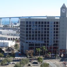
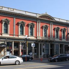
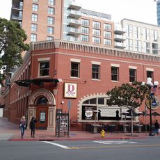
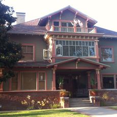
Logan Heights is a residential neighborhood in south central San Diego filled with colorful houses, small shops, and local restaurants that define the everyday character of the community. Streets are lined with mixed-use buildings that create a dense, walkable layout typical of established urban neighborhoods.

The neighborhood took shape in the early 1900s when Mexican immigrants and refugees from the Mexican Revolution settled there and built a strong community. Over following decades, it became an economic and social center for the Mexican-American population in San Diego.

Spanish names appear throughout the neighborhood on street signs, storefronts, and in daily life, reflecting the Mexican-American character of the area. Colorful murals, family-run shops, and local gathering spaces show how residents express their heritage in everyday spaces.

The San Diego Trolley station makes reaching downtown and other neighborhoods straightforward, while Interstate 5 provides vehicle access to surrounding areas. The neighborhood is easily walkable, with shops and restaurants clustered close together for convenient exploration.

Under the Interstate 5 bridge pillars lies Chicano Park, where about 80 murals created by artists cover the concrete surfaces. These artworks tell stories of Mexican-American history and turned what was once an overlooked space into a public art destination.

The community of curious travelers

AroundUs brings together thousands of curated places, local tips, and hidden gems, enriched daily by 60,000 contributors worldwide.

Start exploring
Location
GPS coordinates
32.70000,-117.10000
Latest update
December 7, 2025 19:29
Around this place
Balboa Park
United States of America

Balboa Park

5.5 km
Petco Park
United States of America

Petco Park

5.4 km
San Diego–Coronado Bridge
United States of America

San Diego–Coronado Bridge

5.7 km
Balboa Stadium
United States of America

Balboa Stadium

5.3 km
Hilton San Diego Bayfront
United States of America

Hilton San Diego Bayfront

5.5 km
United States of America

Cerutti Mastodon site

5.4 km
Chicano Park
United States of America

Chicano Park

4 km
Omni San Diego Hotel
United States of America

Omni San Diego Hotel

5.6 km
Zoro Garden Nudist Colony
United States of America

Zoro Garden Nudist Colony

5.7 km
Cornerstone Church of San Diego
United States of America

Cornerstone Church of San Diego

4.9 km
Villa Montezuma
United States of America

Villa Montezuma

4.4 km
Reuben H. Fleet Science Center
United States of America

Reuben H. Fleet Science Center

5.6 km
Balboa Park Gardens
United States of America

Balboa Park Gardens

5.5 km
Japanese Friendship Garden
United States of America

Japanese Friendship Garden

5.7 km
San Diego Central Library
United States of America

San Diego Central Library

5.2 km
Harbor Drive Pedestrian Bridge
United States of America

Harbor Drive Pedestrian Bridge

5.4 km
James R. Mills Building
United States of America

James R. Mills Building

5 km
Switzer Canyon
United States of America

Switzer Canyon

4.6 km
Bea Evenson Fountain
United States of America

Bea Evenson Fountain

5.6 km
Statue of Tony Gwynn
United States of America

Statue of Tony Gwynn

5.4 km
Vantage Pointe Condominium
United States of America

Vantage Pointe Condominium

5.6 km
Granger Hall
United States of America

Granger Hall

1.9 km
The Mark
United States of America

The Mark

5.5 km
Christian Fellowship Congregational Church
United States of America

Christian Fellowship Congregational Church

3.3 km
Independent Order of Odd Fellows Building
United States of America

Independent Order of Odd Fellows Building

5.6 km
Buel-Town Building
United States of America

Buel-Town Building

5.7 km
Island Pacific Seafood Market
United States of America

Island Pacific Seafood Market

3 km
Casa Alfred Haines
United States of America

Casa Alfred Haines

4.1 km
Show the full map
« Logan Heights - Mexican-American neighborhood in south central San Diego, United States » is provided by Around Us (aroundus.com). Images and texts are derived from Wikimedia project under a Creative Commons license. You are allowed to copy, distribute, and modify copies of this page, under the conditions set by the license, as long as this note is clearly visible.

Discover hidden gems everywhere you go!

From secret cafés to breathtaking viewpoints, skip the crowded tourist spots and find places that match your style. Our app makes it easy with voice search, smart filtering, route optimization, and insider tips from travelers worldwide. Download now for the complete mobile experience.

Around Us App Screenshot

A unique approach to discovering new places

Le Figaro

All the places worth exploring

France Info

A tailor-made excursion in just a few clicks

20 Minutes

Around Us
Travel Guide & Maps
Download

Send to your phone

QR Code
1

Open the camera app on your mobile.

2

Point at the QR code with your camera. A notification will appear.

3

Tap the notification to open the link.