Chest opened
+${chestReward.xp} XP
Explorer
NOUVEAU ×${chestReward.collectible.quantity}
tapez pour fermer
Chest locked

Open chests in the app

Around Us is built for your phone — chests unlock when you walk, explore and capture nearby places.

Enable Location

We need your location to show you interesting places around you

Discover nearby places

Find interesting locations and hidden gems around you

Precise directions

Get accurate directions and distances to places

Your location is never shared with other users. It's only used when you tap the location button.

Lytle Creek

Log in to your account

Start exploring — it's free

Trusted by 72,888 travelers worldwide

Continue with Google
Continue with Apple
or

We will send you a code to connect

By continuing, you accept our Terms and Conditions and our Privacy Policy

Check your inbox

We've sent a pincode in your inbox. Please enter the code below.

Discussion Reviews 1 Photos
15.6k Popularity

Lytle Creek, Census-designated place in San Bernardino County, California.

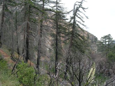
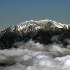
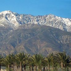
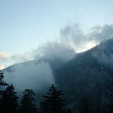
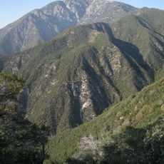
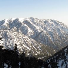
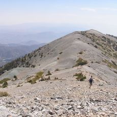
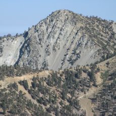
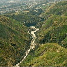
Lytle Creek is a small residential community nestled in the San Gabriel Mountains in San Bernardino County, California, spanning approximately 10 square kilometers. The area features scattered homes set near flowing streams and rocky terrain typical of foothill settlements.

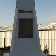
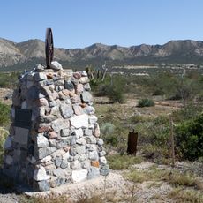
The settlement was founded in 1851 by Mormon pioneers who named the flowing stream after Captain Andrew Lytle, one of their leaders. This early establishment set the foundation for residential growth in this mountain valley.

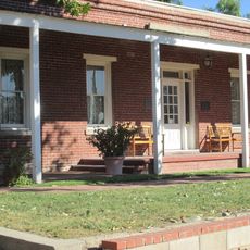
The Canyon newspaper, published by the Community Center since 1948, connects residents through voluntary contributions and regional stories.

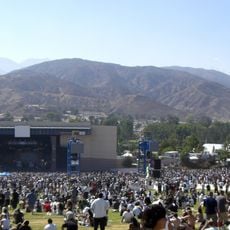
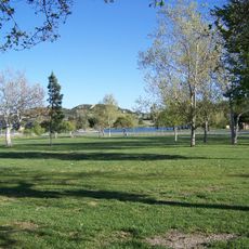
The San Bernardino County Fire Department and Fontana Sheriff Station provide emergency services to the population of around 700 residents. The area is accessible by local roads and offers walking trails leading to natural attractions.

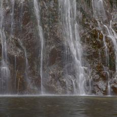
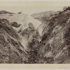
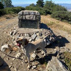
The valley contains several walking trails leading to Bonita Falls, where water cascades down through the mountainous landscape. This hidden waterfall is a favorite destination for local hikers and those exploring the area's quieter spaces.

The community of curious travelers

AroundUs brings together thousands of curated places, local tips, and hidden gems, enriched daily by 60,000 contributors worldwide.

Start exploring
GPS coordinates
34.25917,-117.49917
Latest update
December 7, 2025 19:29
Around this place
Mount San Antonio
United States of America

Mount San Antonio

13.9 km
Auto Club Speedway
United States of America

Auto Club Speedway

19 km
Glen Helen Amphitheater
United States of America

Glen Helen Amphitheater

10.8 km
Cucamonga Peak
United States of America

Cucamonga Peak

8.9 km
Mount Baldy Zen Center
United States of America

Mount Baldy Zen Center

12.9 km
Glen Helen Regional Park
United States of America

Glen Helen Regional Park

10.4 km
Padua Hills Theatre
United States of America

Padua Hills Theatre

22.1 km
Table Mountain Observatory
United States of America

Table Mountain Observatory

21.7 km
Bonita Falls
United States of America

Bonita Falls

3.3 km
Devil Canyon
United States of America

Devil Canyon

16.4 km
John Rains House
United States of America

John Rains House

19.4 km
Iron Mountain
United States of America

Iron Mountain

20 km
Ontario Peak
United States of America

Ontario Peak

12 km
Mount Harwood
United States of America

Mount Harwood

12.7 km
Victoria Gardens Cultural Center
United States of America

Victoria Gardens Cultural Center

16.6 km
Cucamonga Service Station
United States of America

Cucamonga Service Station

19.1 km
Tapia Adobe
United States of America

Tapia Adobe

19.8 km
Telegraph Peak
United States of America

Telegraph Peak

9.1 km
Cajon Pass
United States of America

Cajon Pass

9.9 km
Santa Fe And Salt Lake Trail Monument
United States of America

Santa Fe And Salt Lake Trail Monument

6 km
First Christian Church of Rialto
United States of America

First Christian Church of Rialto

21.1 km
Monument Peak
United States of America

Monument Peak

13.5 km
Santos Manuel Student Union
United States of America

Santos Manuel Student Union

18.3 km
Mormon Trail Monument
United States of America

Mormon Trail Monument

10.6 km
San Bernardino Valley Water Conservation Demonstration Garden
United States of America

San Bernardino Valley Water Conservation Demonstration Garden

18.2 km
Fontana Farms Company Ranch House, Camp No. 1
United States of America

Fontana Farms Company Ranch House, Camp No. 1

19.3 km
San Dimas Experimental Forest
United States of America

San Dimas Experimental Forest

15.9 km
Cucamonga Service Station
United States of America

Cucamonga Service Station

19.1 km
Show the full map
Reviews
Share your experience

No review yet

Discussions
Start a discussion...

No discussion yet

« Lytle Creek - Census-designated place in San Bernardino County, California » is provided by Around Us (aroundus.com). Images and texts are derived from Wikimedia project under a Creative Commons license. You are allowed to copy, distribute, and modify copies of this page, under the conditions set by the license, as long as this note is clearly visible.

Discover hidden gems everywhere you go!

From secret cafés to breathtaking viewpoints, skip the crowded tourist spots and find places that match your style. Our app makes it easy with voice search, smart filtering, route optimization, and insider tips from travelers worldwide. Download now for the complete mobile experience.

Around Us App Screenshot

A unique approach to discovering new places

Le Figaro

All the places worth exploring

France Info

A tailor-made excursion in just a few clicks

20 Minutes

Around Us
Travel Guide & Maps
Download

Send to your phone

QR Code
1

Open the camera app on your mobile.

2

Point at the QR code with your camera. A notification will appear.

3

Tap the notification to open the link.