Silverwood Lake, Reservoir in California, United States
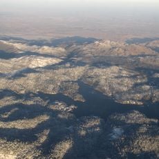
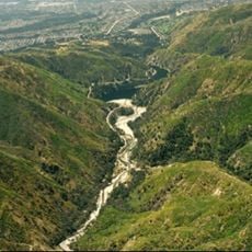
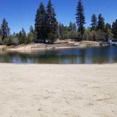
Silverwood Lake is a reservoir on the West Fork Mojave River in the San Bernardino Mountains, created in 1971 by the Cedar Springs Dam as a forebay of the California Aqueduct. It lies at 3,355 ft (1,023 m), the highest reservoir in the State Water Project, with deep blue water filling a branching valley between steep, dry hills. A pale band of exposed earth lines the shore, bordered by dark green trees and brush.
The lake was formed in the early 1970s when the Cedar Springs Dam was completed and held back the flow of the Mojave River. It is part of the California State Water Project, a network that moves water from the wetter northern part of the state to the drier south.
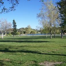
The lake draws many families and groups from the Greater Los Angeles area and the Inland Empire looking for a day near the water. On hot weekends, the beaches and picnic areas fill up, and boats of all kinds share the surface of the water.
The Silverwood Lake State Recreation Area has several entry points around the shore, each with parking, a beach, or picnic areas. Weekday visits tend to be quieter than weekends, especially during summer when the area gets busy.
Silverwood Lake is the highest reservoir in the State Water Project, at 3,355 ft (1,023 m). The Pacific Crest Trail, running 2,650 mi from Mexico to Canada, crosses the Silverwood Lake State Recreation Area, and trailheads there serve both short walks and long hikes.
The community of curious travelers
AroundUs brings together thousands of curated places, local tips, and hidden gems, enriched daily by 93,581 contributors worldwide.