Angeles Crest Highway, Mountain highway in Los Angeles County and San Bernardino County, United States
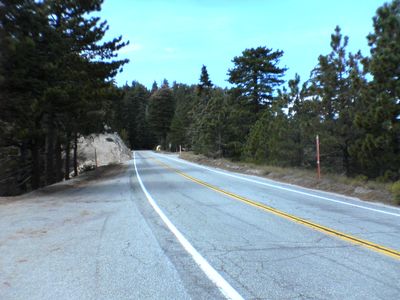
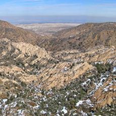
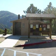
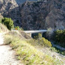
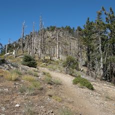
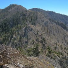
Angeles Crest Highway is a 66-mile mountain road stretching across the San Gabriel Mountains, linking La Cañada Flintridge to State Route 138 near Wrightwood. The route winds through forested areas and open ridges with overlooks, parking areas, and trailheads serving the surrounding national forest.
Construction began in 1929 using labor from a prison camp and was suspended during World War II before completion in 1956. The project represented a major engineering achievement that opened previously remote mountain areas to vehicle access.
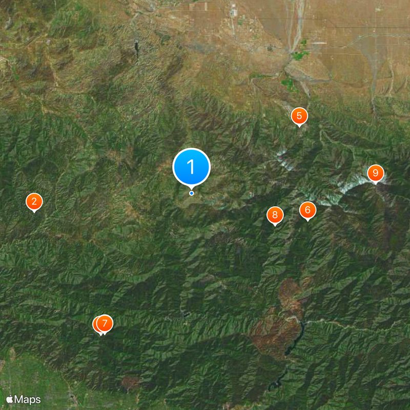
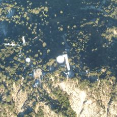
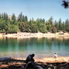
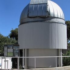
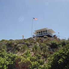
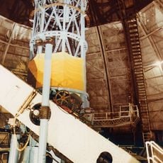
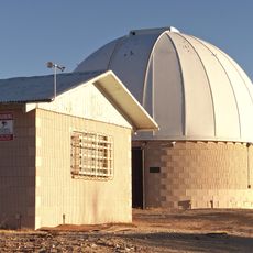
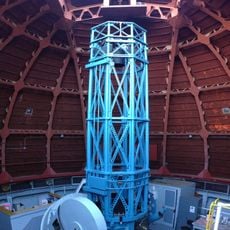
The road links visitors to outdoor recreation culture in Southern California, providing access to the Mount Wilson Observatory and Mountain High ski area that shape how locals experience the mountains.
The highway closes seasonally between Islip Saddle and Vincent Gap due to snow, rockfall, and landslide hazards during winter months. Drivers should prepare for winding mountain roads with elevation changes and varying weather conditions, especially in cooler months.
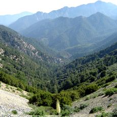
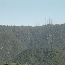
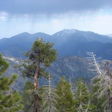
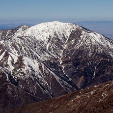
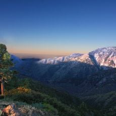
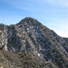
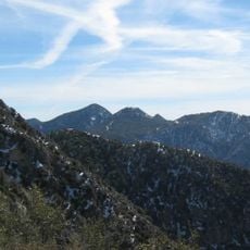
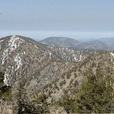
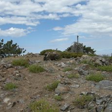
The road reaches 7,903 feet at Dawson Saddle, making it one of the highest paved routes in Southern California. This elevation offers sweeping views across surrounding valleys and noticeably shifts plant life from chaparral to conifer forests.
The community of curious travelers
AroundUs brings together thousands of curated places, local tips, and hidden gems, enriched daily by 60,000 contributors worldwide.