Enable Location

We need your location to show you interesting places around you

Discover nearby places

Find interesting locations and hidden gems around you

Precise directions

Get accurate directions and distances to places

Your location is never shared with other users. It's only used when you tap the location button.

Devil's Punchbowl

Log in to your account

Start exploring — it's free

Trusted by 61,388 travelers worldwide

Continue with Google
Continue with Apple
or

We will send you a code to connect

By continuing, you accept our Terms and Conditions and our Privacy Policy

Check your inbox

We've sent a pincode in your inbox. Please enter the code below.

Devil's Punchbowl

Devil's Punchbowl, Regional park in Los Angeles County, California.

Description

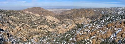
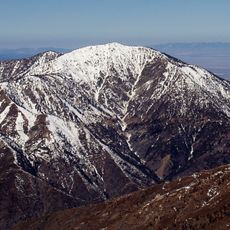
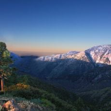
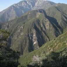
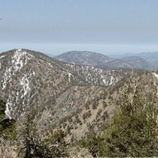
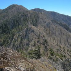
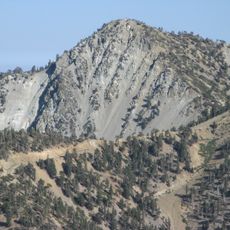
Devil's Punchbowl is a regional park in the northern foothills of the San Gabriel Mountains featuring distinctive sandstone formations and geological layers. A central creek runs through eroded terrain surrounded by arid slopes and ridge formations.

History

Rock layers formed millions of years ago from water deposits and were later tilted by tectonic pressure from several major faults. The canyon's distinctive shape developed through ongoing erosion influenced by these geological forces.

Culture

The name refers to the bowl-shaped canyon visible from different viewpoints, which resembles a hollowed depression in the landscape. This geological shape has become central to how locals and visitors understand and experience the terrain.

Practical

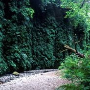
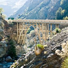
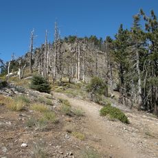
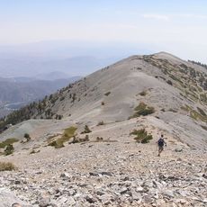
A marked trail of about one mile runs from the visitor center through the geological formations and down to the creek. The paths are accessible on foot, though they involve some climbing and descent that requires moderate fitness.

Did you know?

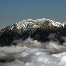
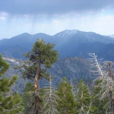
This location brings together desert and mountain ecosystems, creating a rare transition zone valuable to different animal species. Visitors might spot deer, foxes, and occasionally bighorn sheep roaming the slopes.

Location
GPS coordinates
34.40940,-117.84700
Latest update
December 6, 2025 16:02

AroundUs brings together thousands of curated places, local tips, and hidden gems, enriched daily by 60,000 contributors worldwide. Discover all places nearby (California).

Alternative destinations in California

California offers more than its well-traveled routes. Across the state, locations exist that few visitors reach, even though they show landscapes and histories found nowhere else. This collection includes natural areas, abandoned structures, and stretches of coast that lie beyond the usual travel...

Around this place
Show the full map
« Devil's Punchbowl - Regional park in Los Angeles County, California » is provided by Around Us (aroundus.com). Images and texts are derived from Wikimedia project under a Creative Commons license. You are allowed to copy, distribute, and modify copies of this page, under the conditions set by the license, as long as this note is clearly visible.

Discover hidden gems everywhere you go!

From secret cafés to breathtaking viewpoints, skip the crowded tourist spots and find places that match your style. Our app makes it easy with voice search, smart filtering, route optimization, and insider tips from travelers worldwide. Download now for the complete mobile experience.

Around Us App Screenshot

A unique approach to discovering new places

Le Figaro

All the places worth exploring

France Info

A tailor-made excursion in just a few clicks

20 Minutes

Around Us
Travel Guide & Maps
Download

Send to your phone

QR Code
1

Open the camera app on your mobile.

2

Point at the QR code with your camera. A notification will appear.

3

Tap the notification to open the link.