Quartzsite, Desert community in La Paz County, Arizona, United States.
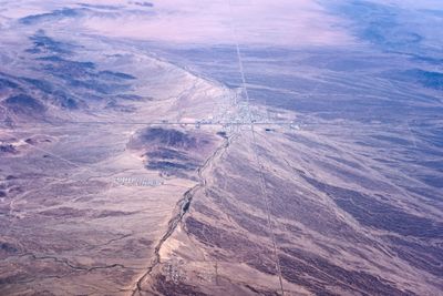
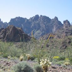
Quartzsite is a town in western Arizona at the crossroads of two major highways in the Sonoran Desert. The few streets run through flat land with low shrubs and rocky hills stretching in all directions.
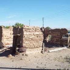
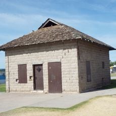
A stagecoach rest stop was established here in the mid-1800s and the settlement grew slowly around this water source. Official town incorporation came only in the late 1980s.
Collectors of minerals and gemstones from many countries come here each January and February, visiting markets and vendor stalls along the main street. The population swells for a few weeks from a few thousand to over a million visitors who stay in motorhomes and tents across the desert landscape.
The best time to visit is between November and March when daytime temperatures are comfortable, though nights can turn cool. Water and supplies should be brought along since few stores operate outside the main season.
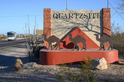
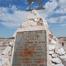
A cemetery on the edge of town holds a monument to a Syrian camel driver who worked for the army in the region during the 1800s. This pyramid-shaped stone memorial recalls an unusual transport experiment in the American desert.
Location: La Paz County
Inception: 1989
Elevation above the sea: 268 m
Website: http://ci.quartzsite.az.us
GPS coordinates: 33.66472,-114.22056
Latest update: December 5, 2025 16:31
London Bridge
90.6 km
Central Arizona Project
70 km
Blythe Intaglios
33.1 km
Colorado River Aqueduct
69.7 km
Ironwood State Prison
41.8 km
All-American Canal
90.9 km
Chuckawalla Valley State Prison
64.8 km
Hi Jolly Monument
1.5 km
Kofa National Wildlife Refuge
51 km
Alamo Lake State Park
85.1 km
Buckskin Mountain State Park
66.3 km
Picacho State Recreation Area
79.8 km
Cibola National Wildlife Refuge
58.6 km
Cattail Cove State Park
76.5 km
Imperial National Wildlife Refuge
77.8 km
Little Picacho Wilderness
87 km
Imperial Reservoir
90 km
Bill Williams River National Wildlife Refuge
70.4 km
Turtle Mountains
90.4 km
Fort Tyson
40 m
Eagletail Mountains Wilderness
80.1 km
Riverside Mountains
49.7 km
Blythe Intake
28.3 km
Trigo Mountains Wilderness
65.5 km
Alamo Lake
85.1 km
Bridgewater Links
90.1 km
Arizona and California Railroad Bridge
55.7 km
Blythe-Ehrenberg Suspension Bridge
29.8 kmVisited this place? Tap the stars to rate it and share your experience / photos with the community! Try now! You can cancel it anytime.
Discover hidden gems everywhere you go!
From secret cafés to breathtaking viewpoints, skip the crowded tourist spots and find places that match your style. Our app makes it easy with voice search, smart filtering, route optimization, and insider tips from travelers worldwide. Download now for the complete mobile experience.
A unique approach to discovering new places❞
— Le Figaro
All the places worth exploring❞
— France Info
A tailor-made excursion in just a few clicks❞
— 20 Minutes