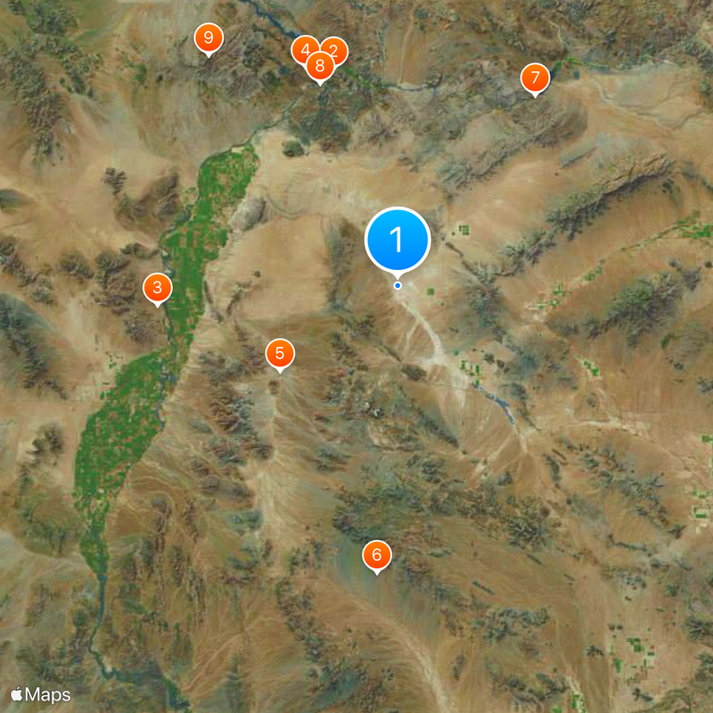
La Paz County, Administrative division in western Arizona, United States.
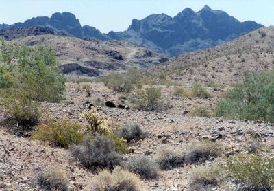
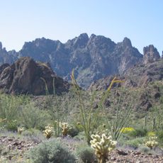
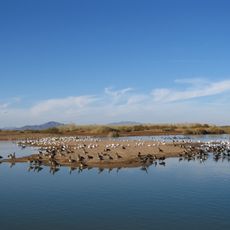
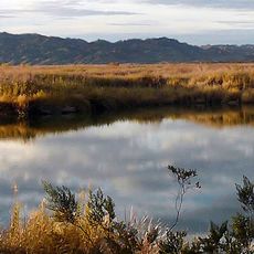
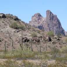
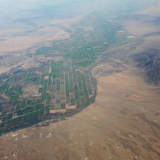
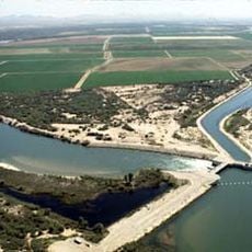
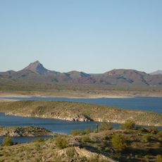
La Paz County is an administrative division in western Arizona that spans approximately 4,500 square miles with the Colorado River forming its western boundary. The region includes diverse landscapes shaped by the river and surrounding terrain.
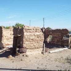
The county was created in 1983 by separating from Yuma County, making it the last administrative division established in Arizona. This separation occurred more than 70 years after Arizona became a state.
The Colorado River Indian Reservation spans sections of the western region, preserving Native traditions that continue to shape the community and demonstrate deep connections to the river.
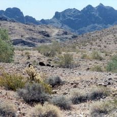
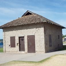
The area is vast and sparsely populated, so visitors should expect large distances between communities and services. Planning ahead about what facilities are available in specific locations is advisable.
With about 4.5 residents per square mile, this area ranks among the most sparsely populated regions in the state. This low population density creates a strong sense of open space and isolation across the landscape.
The community of curious travelers
AroundUs brings together thousands of curated places, local tips, and hidden gems, enriched daily by 60,000 contributors worldwide.