Chest opened
+${chestReward.xp} XP
Explorer
NOUVEAU ×${chestReward.collectible.quantity}
tapez pour fermer
Chest locked

Open chests in the app

Around Us is built for your phone — chests unlock when you walk, explore and capture nearby places.

Enable Location

We need your location to show you interesting places around you

Discover nearby places

Find interesting locations and hidden gems around you

Precise directions

Get accurate directions and distances to places

Your location is never shared with other users. It's only used when you tap the location button.

Log in to your account

Start exploring — it's free

Trusted by 73,011 travelers worldwide

Continue with Google
Continue with Apple
or

We will send you a code to connect

By continuing, you accept our Terms and Conditions and our Privacy Policy

Check your inbox

We've sent a pincode in your inbox. Please enter the code below.

U.S. Route 60 in Arizona
Discussion Reviews Photo
23.6k Popularity

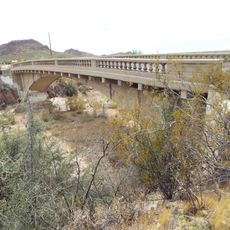
U.S. Route 60 in Arizona, section of U.S. Numbered Highway in Arizona, United States

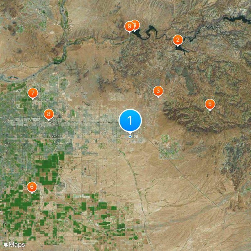
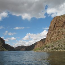
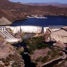
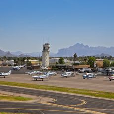
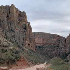
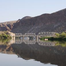
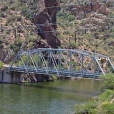
U.S. Route 60 in Arizona is a major state highway that runs across multiple counties and connects different regions of the state. The route passes through varied landscapes, including urban areas, open desert, and mountainous sections.

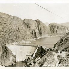
U.S. Route 60 was established as part of the early federal highway system and played an important role in connecting settlements and economic centers in Arizona. Over the decades, the route was modernized and expanded to accommodate growing traffic demands.

The highway is accessible in good driving condition, with most sections offering wide lanes and good visibility. Travelers should be aware of varying weather conditions, particularly in desert sections and mountain areas.

The community of curious travelers

AroundUs brings together thousands of curated places, local tips, and hidden gems, enriched daily by 60,000 contributors worldwide.

Start exploring
Location
Location
Location
Location
Inception
1932
GPS coordinates
33.38788,-111.53469
Latest update
December 20, 2025 14:05
Around this place
Canyon Lake
United States of America

Canyon Lake

19.6 km
Lost Dutchman State Park
United States of America

Lost Dutchman State Park

9.3 km
Saguaro Lake
United States of America

Saguaro Lake

20.2 km
Weaver's Needle
United States of America

Weaver's Needle

16 km
Gilbert Arizona Temple
United States of America

Gilbert Arizona Temple

21.6 km
Arizona Commemorative Air Force Museum
United States of America

Arizona Commemorative Air Force Museum

20 km
Buckhorn Baths Motel
United States of America

Buckhorn Baths Motel

15.9 km
Stewart Mountain Dam
United States of America

Stewart Mountain Dam

19.9 km
Mormon Flat Dam
United States of America

Mormon Flat Dam

20.4 km
United States of America

Peralta Canyon

16.3 km
Rittenhouse Elementary School
United States of America

Rittenhouse Elementary School

16.9 km
United States of America

Buckhorn Hot Mineral Wells

15.8 km
Gold Canyon Golf Resort
United States of America

Gold Canyon Golf Resort

8.3 km
Our Lady of Guadalupe Church
United States of America

Our Lady of Guadalupe Church

18.3 km
Las Sendas Golf Club
United States of America

Las Sendas Golf Club

16.3 km
Kids Rides
United States of America

Kids Rides

21.2 km
Desert Sands Golf Course
United States of America

Desert Sands Golf Course

12.8 km
Brimhall Aquatic Complex
United States of America

Brimhall Aquatic Complex

17.5 km
Sunland Springs Golf
United States of America

Sunland Springs Golf

5.7 km
Stapley Aquatic Center
United States of America

Stapley Aquatic Center

22.4 km
Falcon Field Airport
United States of America

Falcon Field Airport

19.5 km
Goldfield Ghost Town
United States of America

Goldfield Ghost Town

8.9 km
Greenfield Pool
United States of America

Greenfield Pool

19.3 km
Shepherd Aquatic Complex
United States of America

Shepherd Aquatic Complex

17 km
Apache Trail
United States of America

Apache Trail

3.9 km
Boulder Creek Bridge
United States of America

Boulder Creek Bridge

19.2 km
Mormon Flat Bridge
United States of America

Mormon Flat Bridge

18.8 km
Queen Creek Bridge
United States of America

Queen Creek Bridge

22.1 km
Show the full map
Reviews
Share your experience

No review yet

Discussions
Start a discussion...

No discussion yet

« U.S. Route 60 in Arizona - section of U.S. Numbered Highway in Arizona, United States » is provided by Around Us (aroundus.com). Images and texts are derived from Wikimedia project under a Creative Commons license. You are allowed to copy, distribute, and modify copies of this page, under the conditions set by the license, as long as this note is clearly visible.

Discover hidden gems everywhere you go!

From secret cafés to breathtaking viewpoints, skip the crowded tourist spots and find places that match your style. Our app makes it easy with voice search, smart filtering, route optimization, and insider tips from travelers worldwide. Download now for the complete mobile experience.

Around Us App Screenshot

A unique approach to discovering new places

Le Figaro

All the places worth exploring

France Info

A tailor-made excursion in just a few clicks

20 Minutes

Around Us
Travel Guide & Maps
Download

Send to your phone

QR Code
1

Open the camera app on your mobile.

2

Point at the QR code with your camera. A notification will appear.

3

Tap the notification to open the link.