Chest opened
+${chestReward.xp} XP
Explorer
NOUVEAU ×${chestReward.collectible.quantity}
tapez pour fermer

See the monuments around you in AR Open chests in the app

Around Us is built for your phone — point your camera at the streets and discover the monuments and places around you in augmented reality. Around Us is built for your phone — chests unlock when you walk, explore and capture nearby places.

•

Enable Location

We need your location to show you interesting places around you

Discover nearby places

Find interesting locations and hidden gems around you

Precise directions

Get accurate directions and distances to places

Your location is never shared with other users. It's only used when you tap the location button.

Hueco Tanks State Historic Site

Log in to your account

Start exploring — it's free

Trusted by 92,729 travelers worldwide

Continue with Google
Continue with Apple
or

We will send you a code to connect

By continuing, you accept our Terms and Conditions and our Privacy Policy

Check your inbox

We've sent a pincode in your inbox. Please enter the code below.

Hueco Tanks State Historic Site

Hueco Tanks State Historic Site, Historic site and rock climbing destination in El Paso County, Texas.

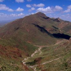
Hueco Tanks State Historic Site covers 860 acres in El Paso County, about 32 miles northeast of central El Paso. It consists of three syenite mountains rising from a high-desert basin between the Franklin and Hueco mountains. The huecos are natural rock basins that trap rainwater for months, and the site holds pictographs, some dating to 6000–3000 BC.

People have inhabited this location for over 10,000 years, with rock art dating back to approximately 6000 BC. The site served as an important destination for various Native American cultures seeking water and shelter in the mountain regions.

Most of the pictographs at Hueco Tanks are of Jornada Mogollon origin, and the drawings may have been used in praying for rain. Their religion was influenced by Mesoamerican religions, and many drawings depict Tlaloc, a rain god, and Quetzalcoatl. The Kiowa called the area Tso-doi-gyata-de-dee, meaning "rock cave where they were surrounded."

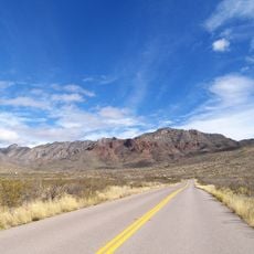
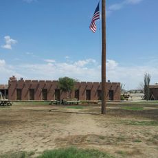
The park lies about 32 miles northeast of central El Paso, reached by road through open desert. The old Escontrías ranch house now serves as the information center, a good first stop for orientation. The site opened to the public in May 1970 and is managed by the Texas Parks and Wildlife Department.

The Kiowa name for the area, Tso-doi-gyata-de-dee, means "rock cave where they were surrounded", recalling a six-day siege by Mexican soldiers in 1837 in which most of the Kiowa died. In 1852 boundary commissioner John R. Bartlett visited and recorded some of the pictographs.

The community of curious travelers

AroundUs brings together thousands of curated places, local tips, and hidden gems, enriched daily by 92,729 contributors worldwide.

Start exploring
Location
Elevation above the sea
1,372 m
GPS coordinates
31.91778,-106.04444
Latest update
October 25, 2026 04:23
Around this place
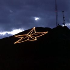
Star on the Mountain
United States of America

Star on the Mountain

27.1 mi
Hueco Tanks
United States of America

Hueco Tanks

440 ft
Franklin Mountains State Park
United States of America

Franklin Mountains State Park

26.9 mi
Monument to the Mexican People
Mexico

Monument to the Mexican People

25.8 mi
Ysleta Mission
United States of America

Ysleta Mission

22.9 mi
Chamizal National Memorial
United States of America

Chamizal National Memorial

26.3 mi
El Paso Zoo
United States of America

El Paso Zoo

25.5 mi
North Franklin Mountain
United States of America

North Franklin Mountain

26.4 mi
Wells Fargo Plaza
United States of America

Wells Fargo Plaza

28.1 mi
Magoffin Homestead
United States of America

Magoffin Homestead

27.6 mi
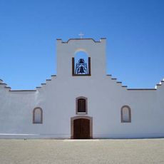
Socorro Mission
United States of America

Socorro Mission

23.5 mi
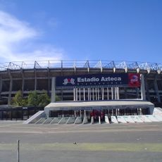
Estadio Olímpico Benito Juárez
Mexico

Estadio Olímpico Benito Juárez

27.4 mi
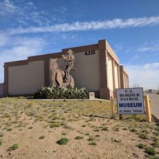
National Border Patrol Museum
United States of America

National Border Patrol Museum

23.7 mi
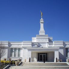
Ciudad Juárez México Temple
Mexico

Ciudad Juárez México Temple

27.6 mi
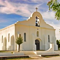
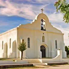
Presidio Chapel of San Elizario
United States of America

Presidio Chapel of San Elizario

26.7 mi
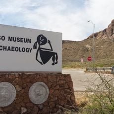
El Paso Museum of Archaeology
United States of America

El Paso Museum of Archaeology

23.8 mi
Archaeology and History Museum of El Chamizal
Mexico

Archaeology and History Museum of El Chamizal

26.7 mi
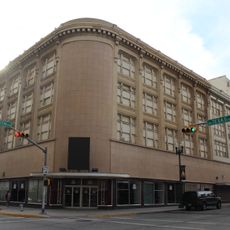
J. J. Newberry Company
United States of America

J. J. Newberry Company

28.2 mi
United States Court House
United States of America

United States Court House

28 mi
Fort Bliss Main Post Historic District
United States of America

Fort Bliss Main Post Historic District

24 mi
International Museum of Art
United States of America

International Museum of Art

27.6 mi
Cohen Stadium
United States of America

Cohen Stadium

23.2 mi
Montana Avenue Historic District
United States of America

Montana Avenue Historic District

27.6 mi
Toltec Club
United States of America

Toltec Club

27.8 mi
House at 912 Magoffin Avenue
United States of America

House at 912 Magoffin Avenue

27.7 mi
El Paso Christmas Lights
United States of America

El Paso Christmas Lights

17.2 mi
Premiere Cinema 18 at Bassett Place Mall
United States of America

Premiere Cinema 18 at Bassett Place Mall

23.4 mi
San Elizario Historic District
United States of America

San Elizario Historic District

26.6 mi
Show the full map
Reviews
Share your experience

No review yet

Discussions
Start a discussion...

No discussion yet

« Hueco Tanks State Historic Site - Historic site and rock climbing destination in El Paso County, Texas » is provided by Around Us (aroundus.com). Images and texts are derived from Wikimedia project under a Creative Commons license. You are allowed to copy, distribute, and modify copies of this page, under the conditions set by the license, as long as this note is clearly visible.

Discover hidden gems everywhere you go!

From secret cafés to breathtaking viewpoints, skip the crowded tourist spots and find places that match your style. Our app makes it easy with voice search, smart filtering, route optimization, and insider tips from travelers worldwide. Download now for the complete mobile experience.

Around Us App Screenshot
❝

A unique approach to discovering new places❞

— Le Figaro

❝

All the places worth exploring❞

— France Info

❝

A tailor-made excursion in just a few clicks❞

— 20 Minutes

Around Us
Travel Guide & Maps
Download

Send to your phone

QR Code
1

Open the camera app on your mobile.

2

Point at the QR code with your camera. A notification will appear.

3

Tap the notification to open the link.