Chest opened
+${chestReward.xp} XP
Explorer
NOUVEAU ×${chestReward.collectible.quantity}
tapez pour fermer
Chest locked

Open chests in the app

Around Us is built for your phone — chests unlock when you walk, explore and capture nearby places.

Enable Location

We need your location to show you interesting places around you

Discover nearby places

Find interesting locations and hidden gems around you

Precise directions

Get accurate directions and distances to places

Your location is never shared with other users. It's only used when you tap the location button.

Corona

Log in to your account

Start exploring — it's free

Trusted by 72,874 travelers worldwide

Continue with Google
Continue with Apple
or

We will send you a code to connect

By continuing, you accept our Terms and Conditions and our Privacy Policy

Check your inbox

We've sent a pincode in your inbox. Please enter the code below.

Discussion Reviews 1 Photos
17.3k Popularity

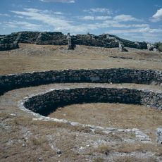
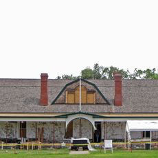
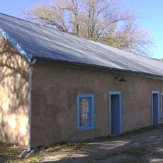
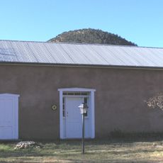
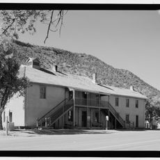
Corona, village in Lincoln County, New Mexico, United States

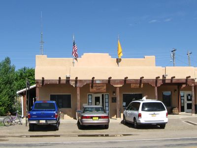
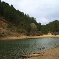
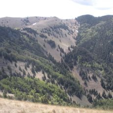
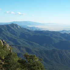
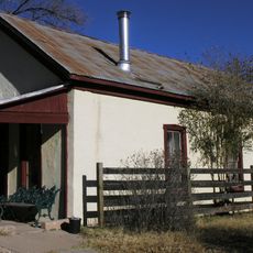
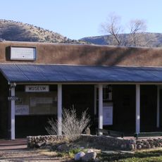
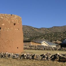
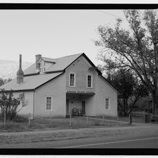
Corona is a small village in Lincoln County, New Mexico, located along U.S. Route 54 at high elevation. The area features open land surrounded by pine and juniper trees in the nearby hills, with the village positioned in a pass between two mountains.

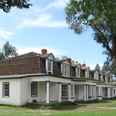
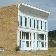
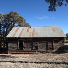
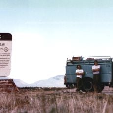
Corona was founded in the early 1900s as a railroad stop, which supported the community's development and growth in mining and ranching. The village is best known for an event in 1947 when a rancher discovered strange debris on his land, later linked to the larger Roswell incident.

Corona is a small village where residents know each other and maintain traditional rural ways of life. The community values its Hispanic roots and regional history, which are celebrated in local gatherings.

The village sits at approximately 6,700 feet (2,040 meters) elevation with cold, dry climate and significant temperature swings throughout the year. Visitors should prepare for variable weather conditions and be aware of fire risk, particularly during dry seasons.

The village is linked to a mysterious event in 1947 when a rancher discovered unusual materials including lightweight metal foil, rubber strips, and wooden sticks on his property. Although authorities later said it was a weather balloon, the story remains alive in local memory and occasionally draws curious visitors.

The community of curious travelers

AroundUs brings together thousands of curated places, local tips, and hidden gems, enriched daily by 60,000 contributors worldwide.

Start exploring
Location
Inception
1903
Elevation above the sea
2,039 m
GPS coordinates
34.25060,-105.59600
Latest update
February 17, 2026 01:00
Around this place
Fort Stanton
United States of America

Fort Stanton

84.3 km
White Oaks
United States of America

White Oaks

57.5 km
Bonito Lake
United States of America

Bonito Lake

89.4 km
Abo
United States of America

Abo

75 km
White Mountain Wilderness
United States of America

White Mountain Wilderness

91.6 km
Quarai
United States of America

Quarai

74.8 km
Lincoln Historic District
United States of America

Lincoln Historic District

86.4 km
Manzano Wilderness
United States of America

Manzano Wilderness

91.5 km
Fort Stanton – Snowy River Cave National Conservation Area
United States of America

Fort Stanton – Snowy River Cave National Conservation Area

85.6 km
United States of America

Las Humanas

45.5 km
Carrizozo Woman's Club
United States of America

Carrizozo Woman's Club

72.5 km
Rancho Bonito
United States of America

Rancho Bonito

65.6 km
Gran Quivera Historic District
United States of America

Gran Quivera Historic District

46.6 km
Jicarilla Schoolhouse
United States of America

Jicarilla Schoolhouse

43.7 km
Mountainair Municipal Auditorium
United States of America

Mountainair Municipal Auditorium

66.6 km
Fort Stanton Museum
United States of America

Fort Stanton Museum

84.4 km
Spencer Theater for the Performing Arts
United States of America

Spencer Theater for the Performing Arts

90.8 km
Tunstall Store
United States of America

Tunstall Store

86.5 km
Fort Stanton Hospital Administration Building
United States of America

Fort Stanton Hospital Administration Building

84.5 km
Smokey Bear Vista Point
United States of America

Smokey Bear Vista Point

80.2 km
Montano Store
United States of America

Montano Store

86.7 km
Convento
United States of America

Convento

86.7 km
Curry Saloon
United States of America

Curry Saloon

86.4 km
Anderson-Freeman Museum and Visitors Center
United States of America

Anderson-Freeman Museum and Visitors Center

86.6 km
Torreon
United States of America

Torreon

86.6 km
Dr. Woods House
United States of America

Dr. Woods House

86.5 km
Old Lincoln County Courthouse
United States of America

Old Lincoln County Courthouse

86.4 km
Smokey Bear Interpretive Trail
United States of America

Smokey Bear Interpretive Trail

78.4 km
Show the full map
Reviews
Share your experience

No review yet

Discussions
Start a discussion...

No discussion yet

« Corona - village in Lincoln County, New Mexico, United States » is provided by Around Us (aroundus.com). Images and texts are derived from Wikimedia project under a Creative Commons license. You are allowed to copy, distribute, and modify copies of this page, under the conditions set by the license, as long as this note is clearly visible.

Discover hidden gems everywhere you go!

From secret cafés to breathtaking viewpoints, skip the crowded tourist spots and find places that match your style. Our app makes it easy with voice search, smart filtering, route optimization, and insider tips from travelers worldwide. Download now for the complete mobile experience.

Around Us App Screenshot

A unique approach to discovering new places

Le Figaro

All the places worth exploring

France Info

A tailor-made excursion in just a few clicks

20 Minutes

Around Us
Travel Guide & Maps
Download

Send to your phone

QR Code
1

Open the camera app on your mobile.

2

Point at the QR code with your camera. A notification will appear.

3

Tap the notification to open the link.