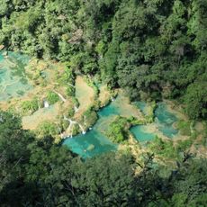
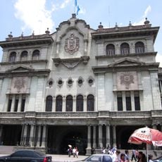
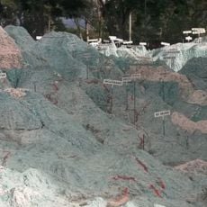
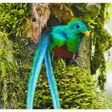
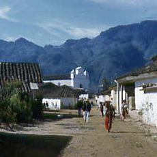
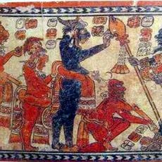
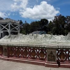
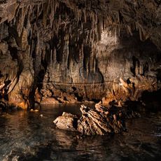
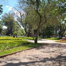
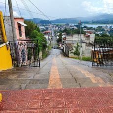
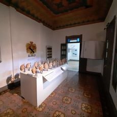
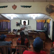
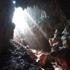
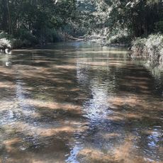
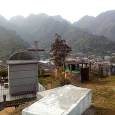
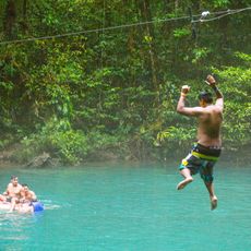
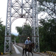
San Juan Chamelco, municipality of Alta Verapaz Department, Guatemala
The community of curious travelers
AroundUs brings together thousands of curated places, local tips, and hidden gems, enriched daily by 60,000 contributors worldwide.
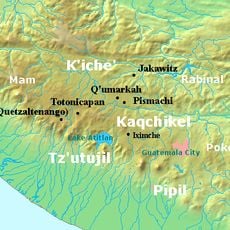
Location
Inception
June 24, 1543
Elevation above the sea
1,388 m
Shares border with
Tucurú, San Pedro Carchá, Tamahú, Senahú
GPS coordinates
15.42568,-90.32628
Latest update
March 3, 2025 09:35