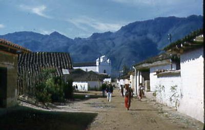
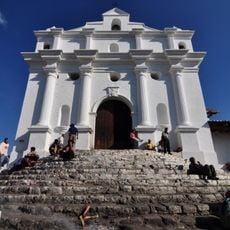
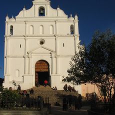
Santa Maria Nebaj, Indigenous municipality in Quiché Department, Guatemala.
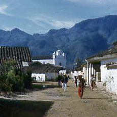
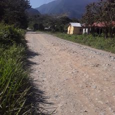
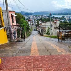
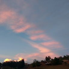
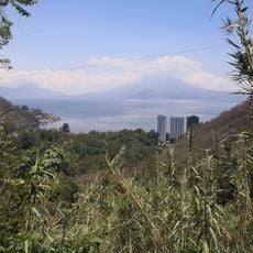
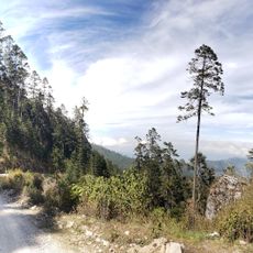
Santa Maria Nebaj sits at 1,900 meters elevation in the western highlands, surrounded by mountains and agricultural land. The settlement spreads across rolling terrain where local farmers cultivate corn, beans, and other crops on hillsides and in valleys.
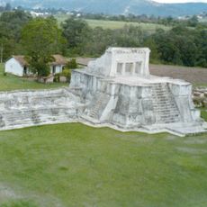
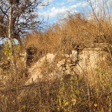
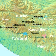
The region experienced significant upheaval during the Spanish conquest in the 1520s, when Ixil communities resisted in the mountains. These early conflicts shaped the area's trajectory and left lasting marks on how the community developed over subsequent centuries.
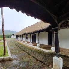
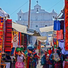
The municipality serves as a center for Ixil Maya culture, where residents speak their native language and practice traditional ceremonies. The handwoven textiles visible in the market reflect skills passed down through generations of local families.
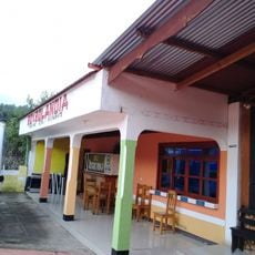
The municipal market operates throughout the week, with busier days when vendors display fresh local produce, handwoven textiles, and crafts. Early morning visits offer the best selection and easier access to walk through the market without large crowds.
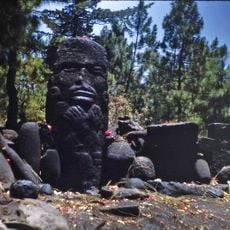
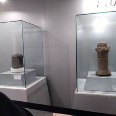
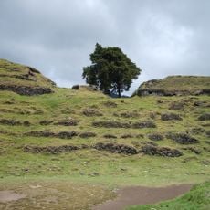
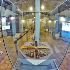
Archaeological discoveries in the area, such as the Fenton Vase, show the advanced skills of Maya craftspeople long before European arrival. These findings reveal the region had a prosperous cultural center with sophisticated artistic techniques passed down through ancient times.
The community of curious travelers
AroundUs brings together thousands of curated places, local tips, and hidden gems, enriched daily by 60,000 contributors worldwide.