
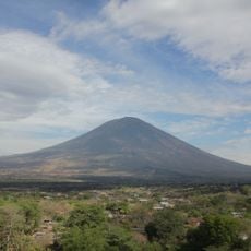
Cerro El Taburete, بركان في إدارة أوسولوتان، السلفادور
Location: Usulután Department
Elevation above the sea: 828 m
GPS coordinates: 13.43670,-88.53170
Latest update: March 6, 2025 06:45
San Miguel
28.2 km
Puerta del Diablo
74.3 km
San Vicente
37.6 km
Ilopango
61.3 km
Estadio Juan Francisco Barraza
39.6 km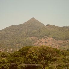
Cerro San Jacinto
73.8 km
Tecapa
7.3 km
Volcán de Usulután
7.1 km
PARQUE DE LA FAMILIA
75.7 km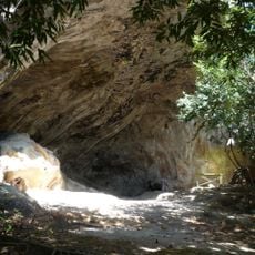
Holy Spirit Grotto
74.8 km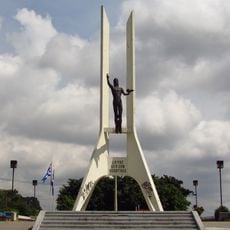
Monumento a la Paz
75.8 km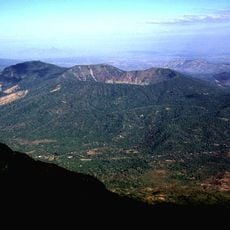
Volcán de Chinameca
23.5 km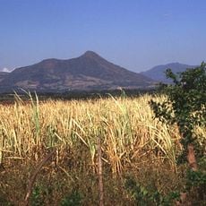
Taburete
348 m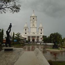
Catedral de Zacatecoluca
37.4 km
Teatro Nacional Francisco Gavidia
39 km
Museum of the Revolution
70.4 km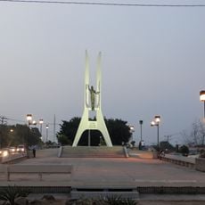
Monumento Cristo de La Paz
75.8 km
Estadio Antonio Toledo Valle
37.9 km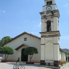
Potonico
70.5 km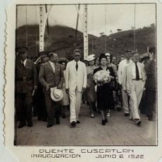
Cuscatlán Bridge
19.7 km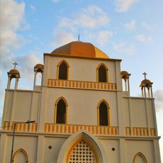
Iglesia El Calvario
38.9 km
Laguna Aramuaca
46.1 km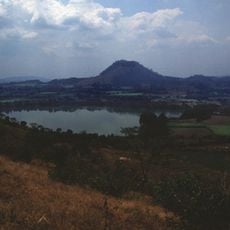
Apastepeque
40.2 km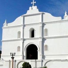
Saint Sebastian Analco Church
37.8 km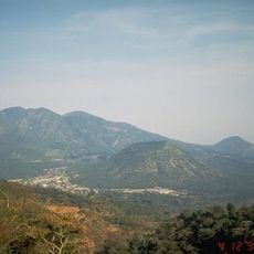
El Tigre
11.8 km
Iglesia de Nuestra Señora del Pilar
35.8 km
Playa El Tamarindo
72 km
El Esteron Rancho Osorio Arbaiza Playa El Cuco
56.7 kmReviews
Visited this place? Tap the stars to rate it and share your experience / photos with the community! Try now! You can cancel it anytime.
Discover hidden gems everywhere you go!
From secret cafés to breathtaking viewpoints, skip the crowded tourist spots and find places that match your style. Our app makes it easy with voice search, smart filtering, route optimization, and insider tips from travelers worldwide. Download now for the complete mobile experience.

A unique approach to discovering new places❞
— Le Figaro
All the places worth exploring❞
— France Info
A tailor-made excursion in just a few clicks❞
— 20 Minutes