Enable Location

We need your location to show you interesting places around you

Discover nearby places

Find interesting locations and hidden gems around you

Precise directions

Get accurate directions and distances to places

Your location is never shared with other users. It's only used when you tap the location button.

Jalapa

Log in to your account

Start exploring — it's free

Trusted by 70,122 travelers worldwide

Continue with Google
Continue with Apple
or

We will send you a code to connect

By continuing, you accept our Terms and Conditions and our Privacy Policy

Check your inbox

We've sent a pincode in your inbox. Please enter the code below.

Discussion Reviews 1 Photos
16k Popularity

Jalapa, Regional administrative center in southeastern Guatemala

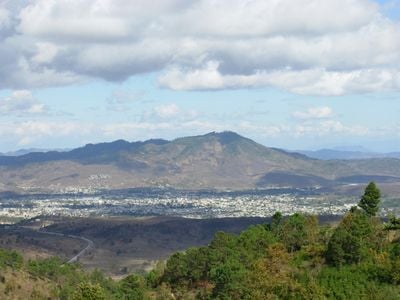
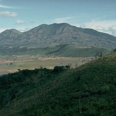
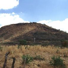
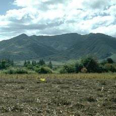
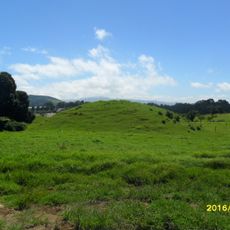
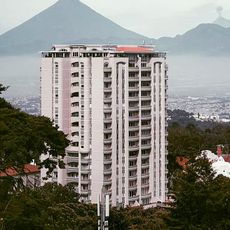
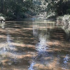
Jalapa sits at 1,392 meters (4,567 feet) elevation in a valley framed by Jumay volcano and the Alcoba and Arluta mountains. The city's layout follows the terrain, with buildings distributed throughout this highland valley setting.

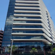
The settlement expanded from a small community in the 1800s into a major regional administrative center. This growth shows how the area became increasingly important to southeastern Guatemala.

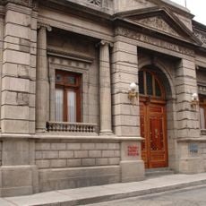
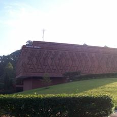
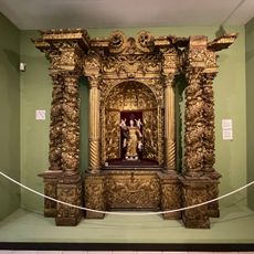
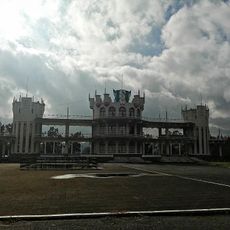
The Cathedral of Nuestra Señora de la Expectación serves as the religious heart and episcopal seat of the Roman Catholic Diocese. The building shapes the town's appearance and reflects how important the church is to residents.

The city sits 97 kilometers from Guatemala City and connects through paved roads running north and south. These well-maintained routes make it straightforward to reach from the main highways.

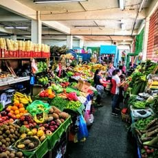
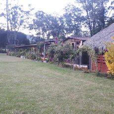
The surrounding villages produce hand-crafted dairy products including Queso Seco and Mantequilla de Costal from communities like Monjas and San Carlos Alzatate. These traditional cheeses and butter are made locally and remain part of the regional economy.

The community of curious travelers

AroundUs brings together thousands of curated places, local tips, and hidden gems, enriched daily by 60,000 contributors worldwide.

Start exploring
Elevation above the sea
1,392 m
Shares border with
Casillas, San Carlos Alzatate, Mataquescuintla, Sanarate, Sansare, San Pedro Pinula, Monjas, Santa Catarina Mita
GPS coordinates
14.63786,-89.99042
Latest update
December 7, 2025 19:28
Reviews
Share your experience

No review yet

Discussions
Start a discussion...

No discussion yet

« Jalapa - Regional administrative center in southeastern Guatemala » is provided by Around Us (aroundus.com). Images and texts are derived from Wikimedia project under a Creative Commons license. You are allowed to copy, distribute, and modify copies of this page, under the conditions set by the license, as long as this note is clearly visible.

Discover hidden gems everywhere you go!

From secret cafés to breathtaking viewpoints, skip the crowded tourist spots and find places that match your style. Our app makes it easy with voice search, smart filtering, route optimization, and insider tips from travelers worldwide. Download now for the complete mobile experience.

Around Us App Screenshot

A unique approach to discovering new places

Le Figaro

All the places worth exploring

France Info

A tailor-made excursion in just a few clicks

20 Minutes

Around Us
Travel Guide & Maps
Download

Send to your phone

QR Code
1

Open the camera app on your mobile.

2

Point at the QR code with your camera. A notification will appear.

3

Tap the notification to open the link.