
Sensenti, human settlement in Honduras
Location: Ocotepeque Department
Elevation above the sea: 918 m
GPS coordinates: 14.48333,-88.93333
Latest update: April 2, 2025 16:18
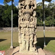
Copán
45.4 km
Joya de Cerén
86.7 km
Quiriguá
88.3 km
Cerro El Pital
23.8 km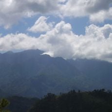
Celaque National Park
25.1 km
Montecristo National Park
49.8 km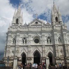
Santa Ana Cathedral, El Salvador
86.4 km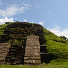
Cihuatán
61.2 km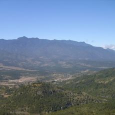
Cerro Las Minas
27.9 km
San Cristóbal fortress
39.4 km
National Theatre of Santa Ana
86.4 km
Parque Libertad
86.5 km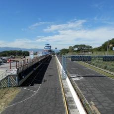
Autódromo Internacional El Jabalí
86.4 km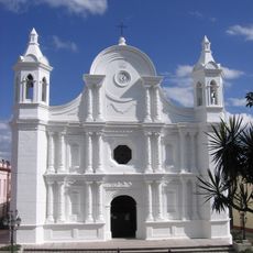
St. Rose Cathedral, Santa Rosa de Copán
35.8 km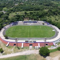
Estadio José Gregorio Martínez
49.2 km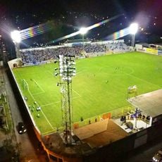
Estadio Jorge Calero Suárez
58.1 km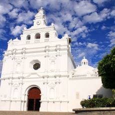
Iglesia de San Pedro Apóstol
57.9 km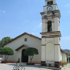
Potonico
57.9 km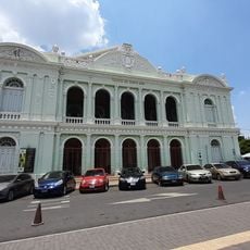
Teatro Nacional de Santa Ana
86.4 km
Apastepeque
87.2 km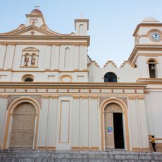
St. John the Baptist Cathedral
49.2 km
Estadio La Asunción
85.8 km
Cinotepeque
62.7 km
La Esperanza, Intibucá
83.7 km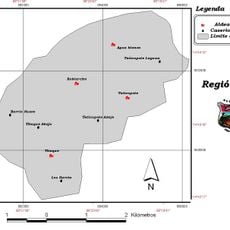
Agua Blanca (Olopa)
51.3 km
Macaw mountain bird park
47.6 km
Luna Jaguar Spa Oficina de informacion
46.3 km
Iglesia del Calvario
57.9 kmReviews
Visited this place? Tap the stars to rate it and share your experience / photos with the community! Try now! You can cancel it anytime.
Discover hidden gems everywhere you go!
From secret cafés to breathtaking viewpoints, skip the crowded tourist spots and find places that match your style. Our app makes it easy with voice search, smart filtering, route optimization, and insider tips from travelers worldwide. Download now for the complete mobile experience.

A unique approach to discovering new places❞
— Le Figaro
All the places worth exploring❞
— France Info
A tailor-made excursion in just a few clicks❞
— 20 Minutes