
Santa Elena, human settlement in Honduras
Location: La Paz Department
Elevation above the sea: 1,831 m
GPS coordinates: 14.08333,-88.11667
Latest update: May 28, 2025 17:23
San Miguel
74.4 km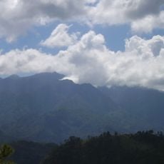
Celaque National Park
81.2 km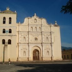
Immaculate Conception Cathedral, Comayagua
66.3 km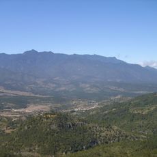
Cerro Las Minas
78.8 km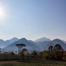
Cerro Azul Meámbar National Park
87.3 km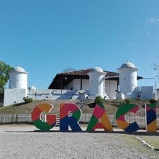
San Cristóbal fortress
75.5 km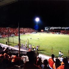
Estadio Juan Francisco Barraza
67.1 km
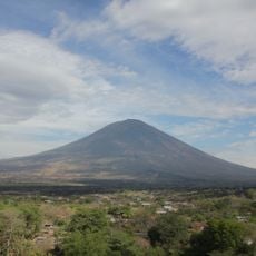
Tecapa
77.6 km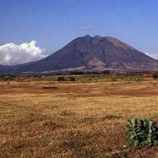
Volcán de Usulután
83.3 km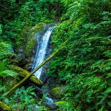
Montaña de Comayagua National Park
79.8 km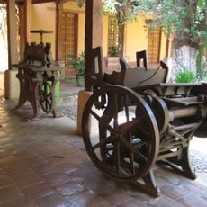
Museum of Comayagua
66.4 km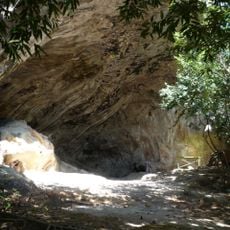
Holy Spirit Grotto
33.5 km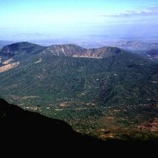
Volcán de Chinameca
71 km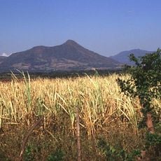
Taburete
84.6 km
Colegio Tridentino de Comayagua
66.1 km
Teatro Nacional Francisco Gavidia
67.2 km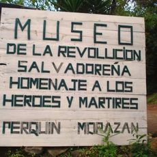
Museum of the Revolution
14.8 km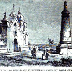
Monumento a la Constitución de 1812
66.2 km
Área de Uso Múltiple Lago de Yojoa
87.2 km
Museo Colonial de Arte Religioso
66.3 km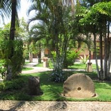
Museo Histórico y Cívico Casa Cabañas
66.1 km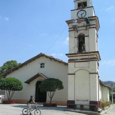
Potonico
84.7 km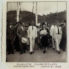
Cuscatlán Bridge
71.7 km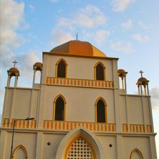
Iglesia El Calvario
67.7 km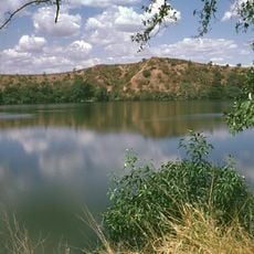
Laguna Aramuaca
72.8 km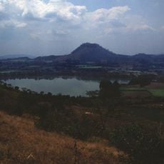
Apastepeque
81.2 km
La Esperanza, Intibucá
25.9 km
El Tigre
76.3 kmReviews
Visited this place? Tap the stars to rate it and share your experience / photos with the community! Try now! You can cancel it anytime.
Discover hidden gems everywhere you go!
From secret cafés to breathtaking viewpoints, skip the crowded tourist spots and find places that match your style. Our app makes it easy with voice search, smart filtering, route optimization, and insider tips from travelers worldwide. Download now for the complete mobile experience.

A unique approach to discovering new places❞
— Le Figaro
All the places worth exploring❞
— France Info
A tailor-made excursion in just a few clicks❞
— 20 Minutes