Oropolí, Municipality in El Paraíso Department, Honduras.
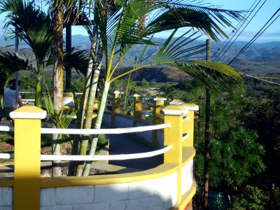
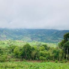
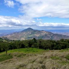
Oropolí is a municipality in El Paraíso Department, Honduras, spread across plains and rolling hills with the San José River flowing through its territory. The municipality comprises eleven villages and fifty-two hamlets, with its administrative center positioned at 453 meters in elevation.
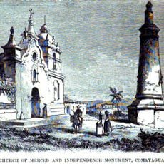
The municipality gained official recognition in 1711, but was destroyed during the 1845 revolution and lost its status. It was restored as a municipality in 1865 and has remained established since then.
The name Oropolí comes from indigenous Mexican language traditions and means 'River of the Great Olotes', reflecting the agricultural roots of the region. This linguistic heritage reveals how indigenous-Mexican influences shaped the early settlers and their connection to the land.
The municipality spreads across numerous small settlements scattered throughout the region, requiring time to travel between different areas and experience the rural character. The administrative center sits at a significant elevation, which reflects the terrain and affects how distances feel when moving from one settlement to another.
The municipality sits at the intersection of five different municipalities, bordered by Yuscarán to the north and San Lucas and San Antonio de Flores to the south. This central position between Alauca to the east and Güinope to the west creates a crossroads between distinct territorial zones.
The community of curious travelers
AroundUs brings together thousands of curated places, local tips, and hidden gems, enriched daily by 60,000 contributors worldwide.