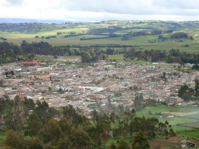
Cumbal, Administrative municipality in Nariño Department, Colombia.
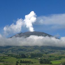
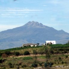
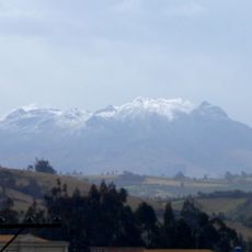
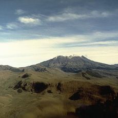
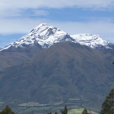
Cumbal is an administrative municipality in Nariño Department located in the Andes at roughly 3050 meters elevation. The region is defined by two prominent volcanoes: Cumbal and Chiles, each rising above 4700 meters and forming the natural backbone of the landscape.
The settlement began in 1529 when a local leader named Cumbe founded a town called Pavas at the base of Cumbal volcano. The community later took on the founder's name and developed into the administrative center it is today.
The Pasto people make up the vast majority of residents here, and their traditions shape daily life in the mountain communities. You can see this heritage reflected in local celebrations, crafts, and the way families connect with the land around them.
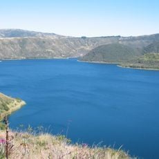
The region sits at high altitude in mountain terrain and requires preparation for elevation and mountain conditions. Multiple rivers flow through the area and shape the landscape, so visitors should bring sturdy footwear and weather-appropriate clothing.
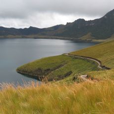
The river system here is distinctive: the Buenavista, Colorado, Negro, and Portachuelo flow through the high-altitude region and enable farming where such activity would normally be challenging. These natural waterways have shaped settlement and economic use of the land since its founding.
The community of curious travelers
AroundUs brings together thousands of curated places, local tips, and hidden gems, enriched daily by 60,000 contributors worldwide.