Lagunas de mojanda, Volcanic lakes in Otavalo, Ecuador
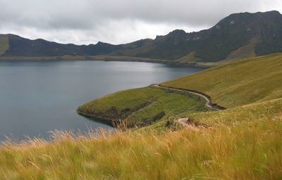
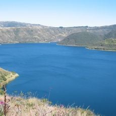
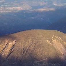
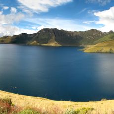
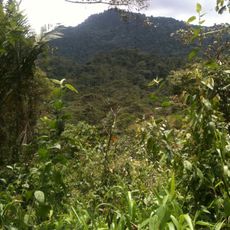
Lagunas de Mojanda comprises three mountain lakes nestled at about 3,720 meters (12,200 feet) elevation, surrounded by highland grasslands and native forests. Caricocha is the largest, while Yanacocha displays noticeably darker water and Huarmicocha supports distinct aquatic plant species.
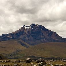
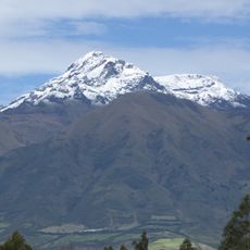
The lakes formed approximately 200,000 years ago following a major volcanic eruption that created a caldera in the Eastern Cordillera. This geological origin continues to shape the character of the highland region.
The three lakes carry names from the Kichwa language, reflecting how indigenous communities have long connected with this highland landscape. Local people continue to recognize these geographical features through their traditional language.
Access is via the Panamericana Norte 28B highway from Quito to Tabacundo, then by marked road to the lakes. The high altitude requires reasonable fitness and acclimatization, especially for visitors coming from lower elevations.
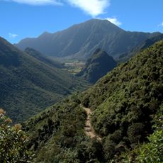
The lakes lie near Fuya Fuya peak and form a striking alpine lake complex accessible by a hiking trail that connects all three. Walking between them reveals shifts in vegetation zones and how each lake responds differently to the surrounding climate.
The community of curious travelers
AroundUs brings together thousands of curated places, local tips, and hidden gems, enriched daily by 60,000 contributors worldwide.