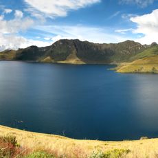
Pululahua Geobotanical Reserve, Protected volcanic area in Pichincha Province, Ecuador
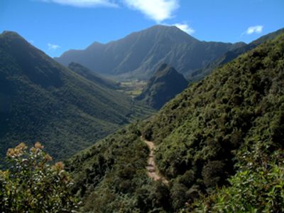
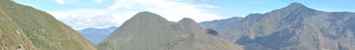
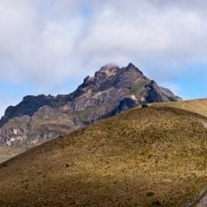
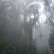
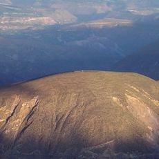
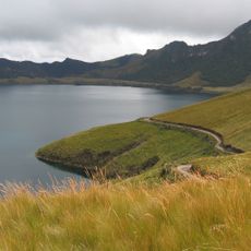
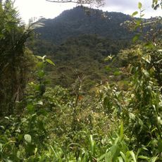
Pululahua Geobotanical Reserve is a protected volcanic area in Pichincha Province, Ecuador, covering more than three thousand hectares between lowlands and ridges above three thousand meters. The central crater encloses a forested lava dome named Pondoña, while the outer slopes transition into cloud forest and páramo vegetation.
The volcano experienced its last major eruption more than two thousand years ago, leaving the present crater. Ecuador's government declared the area the country's first national park in 1966 and changed the designation to a geobotanical reserve in 1978.
Inside the volcanic crater, farming families grow corn, beans and other crops on terraces they work by hand. The methods follow techniques used in this high-altitude zone since before Spanish arrival.
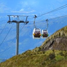
The starting point for the descent lies in the Ventanillas sector, where a viewing platform above the crater rim and administration facilities are located. Trails lead from the rim down to the crater floor, but the altitude requires some adjustment and caution in changing weather.
This volcanic crater ranks among only two worldwide where people live permanently, and it is the sole one where farming still takes place today. Visitors can spot the fields and homesteads far below from the crater rim, offering an unusual picture of volcanic habitation.
The community of curious travelers
AroundUs brings together thousands of curated places, local tips, and hidden gems, enriched daily by 60,000 contributors worldwide.