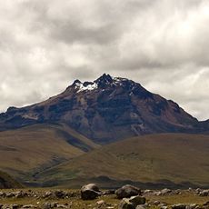
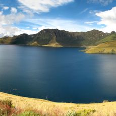
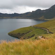
Cayambe, Stratovolcano in Cordillera Central, Ecuador.
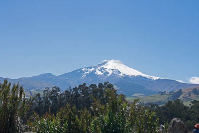
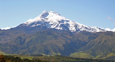
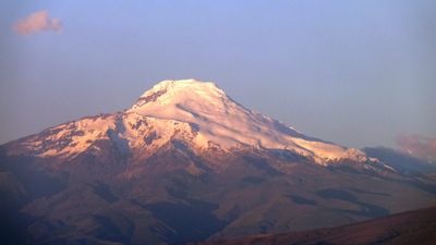
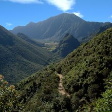
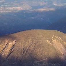
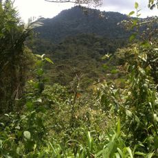
Cayambe is a stratovolcano rising to 5,790 meters about 70 kilometers northeast of Quito, carrying a permanent snow cap and extensive ice fields. The southern flank shows steep slopes with crevasses, while the northern side offers gentler approaches.
British mountaineer Edward Whymper reached the summit in 1880 with Italian guides Jean-Antoine and Louis Carrel for the first recorded ascent. Geologists later documented volcanic activity dating back thousands of years.
The name comes from the Quechua word Cahan, meaning high cold place. Local communities have regarded the mountain as part of their landscape and stories for generations.
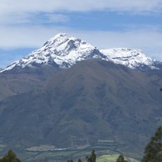
The Ruales Oleas Berge refuge at 4,700 meters offers overnight shelter for climbers preparing to tackle the ascent through moderate to steep sections. Acclimatization is needed, as altitude affects quickly at these elevations.
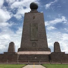
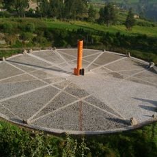
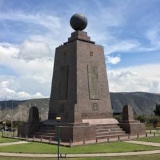
The southern slope marks the highest point on Earth crossed by the Equator, making it the only snow-covered spot along this global parallel. On clear days visitors here see two hemispheres at once.
Location: Cayambe Canton
Location: Pichincha Province
Elevation above the sea: 5,790 m
GPS coordinates: 0.02516,-77.98896
Latest update: December 6, 2025 11:00
Ecuador offers diverse landscapes and architectural subjects for photography. The capital city of Quito features colonial buildings such as the Basilica del Voto Nacional and the narrow streets of La Ronda, while the surrounding highlands contain active volcanoes including Cotopaxi, Chimborazo, and...
Ciudad Mitad del Mundo
52.1 km
Estadio Olímpico Atahualpa
58.8 km
Pululahua Geobotanical Reserve
52.8 km
Coca Codo Sinclair Dam
42 km
Cayambe Coca National Park
21.2 km
Cuicocha
51.7 km
Reventador
38.6 km
La Capilla del Hombre
58.6 km
Imbabura Volcano
33.2 km
Parque Bicentenario
58.6 km
Sincholagua Volcano
53.1 km
Cotacachi Volcano
54.7 km
Colegio Técnico Experimental de Aviación Civil
57.8 km
Cultural Complex Fabrica Imbabura
41.4 km
Museo Solar Intiñán
51.9 km
Torre Urban Plaza
58.5 km
Quitsato Sundial
20.9 km
Imbabura UNESCO Global Geopark
40.6 km
Catequilla
49 km
Mojanda
31 km
Lagunas de mojanda
33.2 km
Hacienda Guachalá
21.5 km
Intiñan Equator Museum
51.9 km
Maquipucuna
40.3 km
Plaza de toros Raúl Dávalos de la Calle
59 km
Fundación Guayasamín
58.6 km
Basílica El Quinche
37.4 km
Monumento a la Mitad del Mundo
52.1 kmVisited this place? Tap the stars to rate it and share your experience / photos with the community! Try now! You can cancel it anytime.
Discover hidden gems everywhere you go!
From secret cafés to breathtaking viewpoints, skip the crowded tourist spots and find places that match your style. Our app makes it easy with voice search, smart filtering, route optimization, and insider tips from travelers worldwide. Download now for the complete mobile experience.
A unique approach to discovering new places❞
— Le Figaro
All the places worth exploring❞
— France Info
A tailor-made excursion in just a few clicks❞
— 20 Minutes