Cayambe Coca National Park, National park in northeastern Ecuador
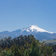
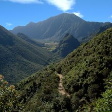
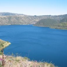
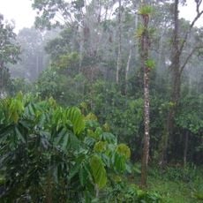
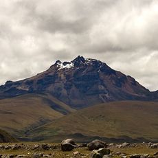
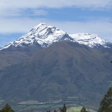
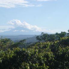
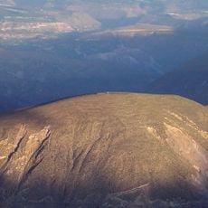
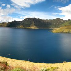
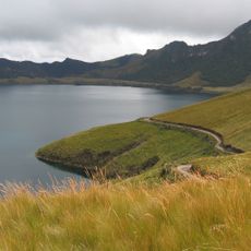
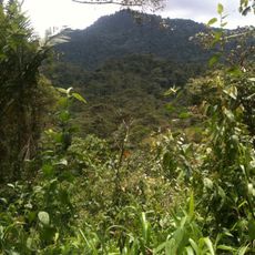
Cayambe Coca is a protected area in northeastern Ecuador spanning more than 400,000 hectares across Napo, Pichincha, Imbabura and Sucumbíos provinces. The terrain ranges from rainforest valleys to glaciated peaks above 5,700 meters, taking in páramo grasslands, cloud forest and lowland rivers.
Ecuador established the area as an ecological reserve in November 1970 to protect water sources and mountain ecosystems. In 2010, the government changed its status to a national park, expanding official protection measures.
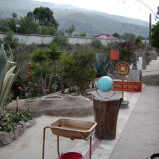
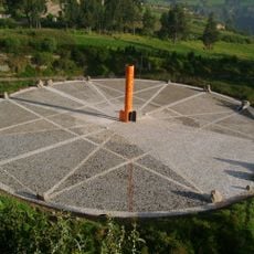
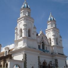
The park contains traditional thermal springs in Oyacachi, where indigenous communities maintain their ancestral practices near the Reventador volcano waters.
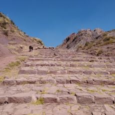
Visitors can enter the protected area via the 214-kilometer Quito-Papallacta-Baeza road or through the Sangolquí-Cayambe access route. Mountain trails pass through multiple climate zones, and hikes should account for altitude acclimatization.
Watersheds within the area split in two directions: rivers flowing east join the Napo-Marañón system toward the Amazon and ultimately the Atlantic, while western streams drain via the Mira into the Pacific. This rare divide sits at a transition between the Andes and the Amazon basin.
Location: Napo Province
Inception: November 17, 1970
Elevation above the sea: 600 m
Website: http://ambiente.gob.ec/parque-nacional-cayambe-coca
GPS coordinates: 0.05000,-77.80000
Latest update: December 5, 2025 22:30
Ecuador contains photographic subjects from Quito's colonial streets to Galápagos Islands landscapes. The country features architectural monuments, volcanoes, crater lakes, waterfalls and national parks. Locations include the National Vow Basilica, Cotopaxi Volcano, Quilotoa Lake and cultural centers like Otavalo Market.
Ciudad Mitad del Mundo
73.2 km
Cayambe
21.2 km
Pululahua Geobotanical Reserve
73.8 km
Coca Codo Sinclair Dam
30.4 km
El Ángel Ecological Reserve
79.4 km
Antisana volcano
70.7 km
Cuicocha
68.6 km
Reventador
21.4 km
Antisana National Park
74.4 km
Sumaco Napo-Galeras National Park
52.2 km
Imbabura Volcano
48.1 km
Sincholagua Volcano
74.1 km
Cotacachi Volcano
70.2 km
Cultural Complex Fabrica Imbabura
55.1 km
Museo Solar Intiñán
73.1 km
Torre Urban Plaza
77.9 km
Quitsato Sundial
42.1 km
Imbabura UNESCO Global Geopark
53.1 km
Sumaco
68.6 km
Catequilla
70.2 km
Mojanda
51.1 km
Lagunas de mojanda
52.7 km
Hacienda Guachalá
42.5 km
Intiñan Equator Museum
73.1 km
Maquipucuna
61.5 km
Basílica El Quinche
58.1 km
Monumento a la Mitad del Mundo
73.2 km
Qhapaq Ñan, Andean Road System
68.5 kmReviews
Visited this place? Tap the stars to rate it and share your experience / photos with the community! Try now! You can cancel it anytime.
Discover hidden gems everywhere you go!
From secret cafés to breathtaking viewpoints, skip the crowded tourist spots and find places that match your style. Our app makes it easy with voice search, smart filtering, route optimization, and insider tips from travelers worldwide. Download now for the complete mobile experience.
A unique approach to discovering new places❞
— Le Figaro
All the places worth exploring❞
— France Info
A tailor-made excursion in just a few clicks❞
— 20 Minutes