Omoa, Administrative division in Cortés Department, Honduras
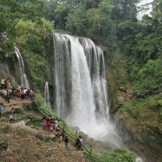
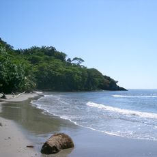
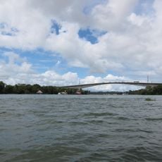
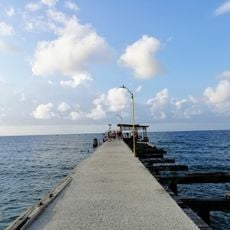
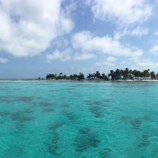
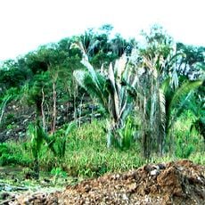
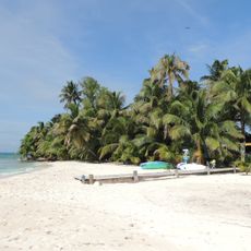
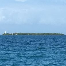
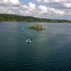
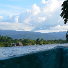
Omoa is an administrative division along Honduras's northern Caribbean coast comprising coastal and inland zones. The region contains multiple settlements of varying sizes where people live in different environments, ranging from areas close to the sea to more remote villages inland.
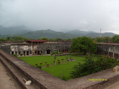
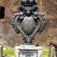
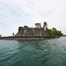
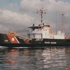
The area was established in 1752 when the Spanish Crown ordered its founding under Governor Pantaleón Ibánez. Military fortifications and storage facilities were built to protect colonial trade flowing through the Caribbean coast.
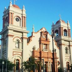
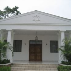
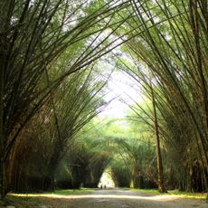
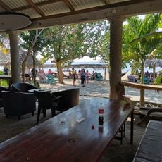
The settlement on the Caribbean shore reflects influences from indigenous, African, and Spanish traditions that shape how people live and celebrate together today. You can notice this cultural blend in local customs, food, and the way communities gather in public spaces.
Start exploring from the larger coastal settlements and then venture inland to discover the full extent of the region. Road connections link the various communities, though some rural paths may be more challenging during the rainy season.
The area served as a key port for slave trading and other Atlantic commerce during the colonial era. This past continues to influence the demographic composition and economic patterns visible in the region today.
The community of curious travelers
AroundUs brings together thousands of curated places, local tips, and hidden gems, enriched daily by 60,000 contributors worldwide.