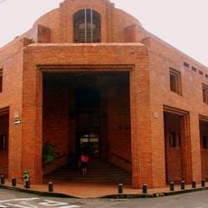
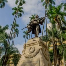
Dagua, Municipality in Valle del Cauca, Colombia
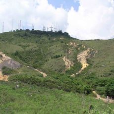
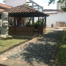
Dagua is a municipality in Valle del Cauca located at approximately 882 meters elevation in a mountainous, forested region. The area covers roughly 939 square kilometers and comprises several smaller communities connected by rural roads.
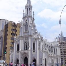
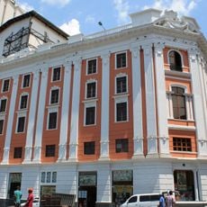
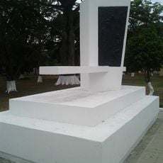
The municipality was officially founded on January 1, 1909, formalizing a region that had long been inhabited. This establishment marked the beginning of its modern administrative structure within Valle del Cauca.
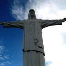
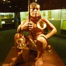
The name Dagua comes from indigenous language and reflects the deep connection between people and nature in this region. Residents continue their agricultural traditions today, which shapes daily life throughout the local communities.
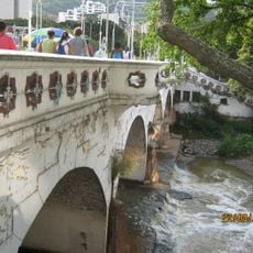
The best time to explore is early in the day when roads are dry and visibility is clear, especially during the drier months. Good footwear and weather-resistant clothing are important due to the mountainous and humid conditions.
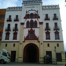
The area comprises 13 distinct subregions, including El Queremal, Loboguerrero, and Atuncela, each offering their own characteristics. Each settlement has its own personality and contributes differently to the character of the municipality.
The community of curious travelers
AroundUs brings together thousands of curated places, local tips, and hidden gems, enriched daily by 60,000 contributors worldwide.